

Loading...

Plateauwandeling

4 km • Halle

Icon official route official route

2.5241 0 0/5

4 km 0.0 km 0.0 km

route offered by

Badge of official route

Icon starting point Addresse starting point (approximate)

Parking 4, Dries 3, 1500 Halle

Icon type signage of route signage

The route is signposted with thematic signs (no nodes). You can use a GPS device or our app to follow the route through the virtual nodes.
5m 5m 5m 5m
© Lander Loeckx

Icon description route Description

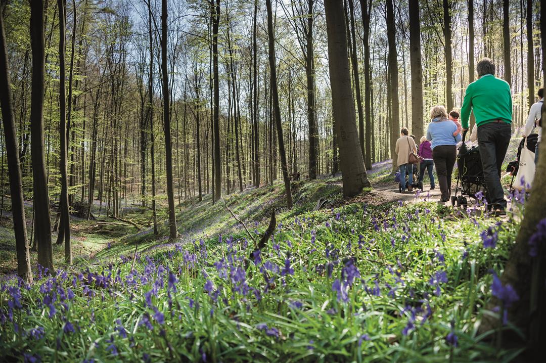
It starts around mid-April, when the delicate bluebells unfurl their petals and create a fairy-tale-like purple carpet of flowers in the Hallerbos. This walk takes you to the central plateau in the forest, right through the bluebell area. The trail features seven special tactile panels designed to make the forest more accessible to people with visual impairments. The panels depict bluebells and ten tree species. The walk is wheelchair-accessible, and there are accessible benches and picnic tables at regular intervals.

Before you set out: This walk is part of a digital walking network; the junctions are not marked on-site. Follow the wooden posts with black-and-white markings. This walk is offered by the Agency for Nature and Forests and Tourism Flemish Brabant.

Please note! During the Hyacinth Festival, from April 4 to May 3, Parking Lot 4—the starting point of this walk—is reserved exclusively for people with disabilities.

automatic translation

Icon nodes to follow nodes to follow

Image node TP
0 km
Image node 626
0.6 km
Image node 630
1.1 km
Image node 631
1.7 km
Image node 632
2 km
Image node 630
2.9 km
Image node 626
3.4 km
Image node TP
4 km
This route does not have any reviews yet. Be the first!
Rate route!

Which POI do you want to show on the map?

Experimental hiking network
Unsigned icon

The route you have chosen runs (partly) along an experimental virtual hiking node network (the blue-coloured nodes and sections on the map).

You must be logged in to plan routes here.

Experimental hiking network
Unsigned icon

The route you have chosen runs (partly) along an experimental virtual hiking node network (the blue-coloured nodes and sections on the map).

These routes are not controlled in the field. Before you start hiking here, take a minute to read what an experimental hiking node network is and what rules you should follow when hiking here.


