
 Hiking
 Login
Login
 More
More
 EN
EN
 Premium
Reebokwandeling
8.2 km • Halle
 official route
5.78323 6 4.8/5
route offered by

 Addresse starting point (approximate)
Parking 5, Kapittel 10, 15 Halle
 signage
The route is signposted with thematic signs (no nodes). You can use a GPS device or our app to follow the route through the virtual nodes.
 Description
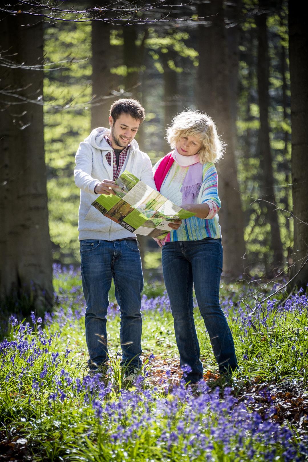
The Hallerbos is the most important and most extensive forested area between the Zenne and Zoniën. The forest is a favorite among visitors thanks to the beautiful purple carpet of wild hyacinths, which bloom around mid-April. The varied terrain offers wonderful hiking opportunities and makes a visit to this forest more than worth your while. The Roebuck Trail is a challenging hike that takes you through three of the four valleys in the Hallerbos.
Before you set out: This is a hike on a digital hiking network; the junctions are not signposted on the ground. Follow the wooden posts with yellow markings.
This hike is offered by the Agency for Nature and Forests and Tourism Flemish Brabant.
automatic translation
 nodes to follow
0 km
0.5 km
1.5 km
2.6 km
3.1 km
6 km
6.6 km
7.7 km
8.1 km
Sunday, July 5, 2026 by Alessandro XxBest to park at Hallerbos P1. very nice, all forest and shadow
Saturday, March 28, 2026 by philippe LemaireA lovely walk in the woods, especially at this time of year—not too crowded yet, so you can enjoy the beautiful carpets of flowers.
automatic translation
Sunday, August 10, 2025 by Els GhijselsVery quiet, and nice and cool on a summer day, some up and down though, good walking shoes are not unnecessary.
automatic translation
Sunday, August 3, 2025 by Van Lierde Sylvapeaceful walk along clearly indicated sign posts
Friday, July 25, 2025 by stijn seversEnjoying the forest in peace
automatic translation
Wednesday, July 16, 2025 by Bruininkx Tonywonderful walk
automatic translation



 Upgrade to Premium Plus


