 Hiking
 Login
Login More
More EN
EN Premium
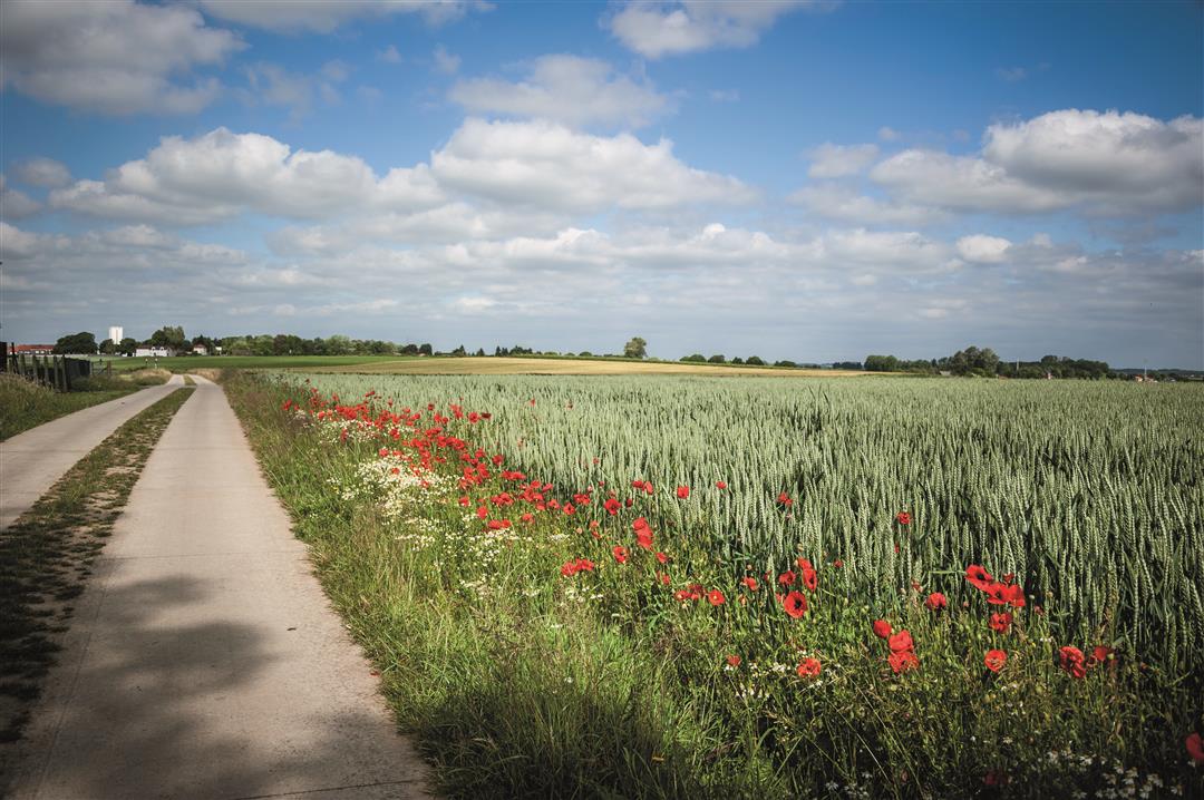
Blossom walk Tienen
automatic translation
11 km • Tienen
 official route
1.0780 5 3.1/5
route offered by
 Addresse starting point (approximate)
Fruitbedrijf Vanhellemont, Hamelendreef 81, 3300 Tienen
 signage
The route is fully signposted with nodes.
 Description
Depart at fruit farm Vanhellemont for a walk along endless rows of fruit trees with fragrant blossoms. Pass by the charming villages of Oplinter and Sint-Margriete-Houtem where, during World War I, the Belgian and German armies clashed in a fierce battle. And relax on the summer terrace of recreation park Viander.
It is definitely recommended to follow this walk in the spring, when the fragrant, white blossoms on the fruit trees transform the landscape into a fairy-like setting.
This walk is offered by Tourism Flemish Brabant.
automatic translation
 nodes to follow
0 km
0.9 km
1.5 km
2.2 km
3.9 km
4.5 km
6.7 km
7.2 km
8 km
8.1 km
8.5 km
9.5 km
10.1 km
11 km
Saturday, March 20, 2021 by L.V.We did 20-21-26-25-200-201-202 and then further route as planned. Was not a topper. A lot in residential areas. Especially from 201 to 202 and up to 28 in fields but name blossom hike seems excessive to us. Normal that the trees were not in flower but still did not see very many orchards. I think there are better blossom walks.
automatic translation
Sunday, November 8, 2020 by R.L.At start: searched for indication "2" (= departure) but unfindable. However, reference to 26. Why not 27 (first junction!). Indication 20: untraceable. Hilarious: same location: 2 different nrs, ideal for confusion! Problem Oplinter: road sends to cemetery, hike does not: no indication at junction. Still a lot of work to do!!!
automatic translation
Wednesday, May 27, 2020 by bertie thijswe would like to walk or bike those roets
automatic translation
Monday, May 25, 2020 by mai valenberghsI don't know what the "anonymous user" had expectations of this trail but it didn't bore me for a minute ...Ok...it's not a trail...half paved and half unpaved...but I enjoyed the fields on one side and the fruit orchards on the other...the beautiful far views and most of all...the peace and quiet...as a long distance hiker, this one is a super short but highly recommended for a pleasant Sunday afternoon walk....
automatic translation
Friday, July 13, 2018 by P.G.Do not find a nice route really bored
automatic translation


 Upgrade to Premium Plus
