 Hiking
 Login
Login More
More EN
EN Premium
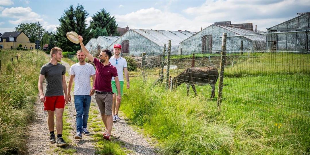
Serristenwandeling Eizer
5.2 km • Overijse
 official route
6770 0 0/5
5.2 km
0.0 km
0.0 km
route offered by
 Addresse starting point (approximate)
Maria Magdalenakerk, Duisburgsteenweg, 3090 Eizer
 signage
The route is fully signposted with nodes.
© Lander Loeckx
 Description
Explore the slow roads of Eizer, also known at the time for growing peaches. From the authentic "snapped" greenhouses to super modern and computerized farms. The greenhouses vary, but behind each glass house is a serrist growing his table grapes with heart and soul.
This walk is offered by Tourism Flemish Brabant.
automatic translation
 nodes to follow
0 km
0.7 km
1.3 km
2.7 km
2.7 km
4 km
4.5 km
5 km
5.2 km


 Upgrade to Premium Plus
