 Hiking
 Login
Login
 More
More
 EN
EN
 Premium
Ommetjes Baarle
automatic translation
17.8 km • Zondereigen
2.5732 0 0/5
route offered by
Toerisme Provincie Antwerpen
 Addresse starting point (approximate)
knooppunt 22, parkeerplaats tussen Baarle en Zondereigen aan de dodendraad
 signage
The route is fully signposted with nodes.
 Description
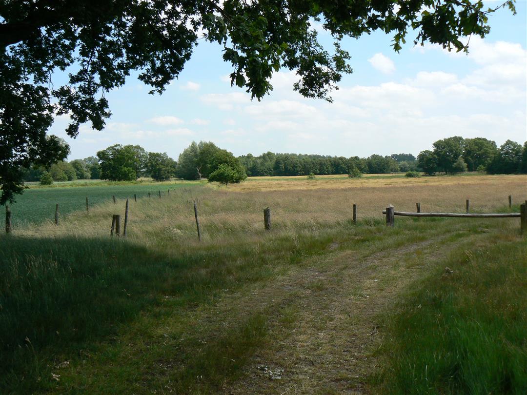
"These trails cross the Dutch network Brabant-West and the Belgian network Kempense Kolonies.
You can start the three detours at junction 54 (on the corner of Nieuwstraat and St. Janstraat) in Baarle-Nassau. Close to junction 54 is the Loswal parking lot and the bus stop for buses to Breda, Tilburg and Turnhout. Ommetje Zondereigen you can also start at node 24 at the St. Rumolduskerk in Zondereigen."
The total loop of 17.8 km is marked, but you can shorten the loop at several points.
automatic translation
 nodes to follow
0 km
0.1 km
0.5 km
0.6 km
2.2 km
2.4 km
3 km
3.3 km
3.7 km
3.8 km
3.9 km
4.7 km
5 km
5.2 km
5.4 km
5.7 km
5.8 km
6.1 km
6.8 km
7.7 km
7.8 km
8.9 km
9 km
9.5 km
10.5 km
11.1 km
11.2 km
11.6 km
12.5 km
13.3 km
13.8 km
14.3 km
14.4 km
15.6 km
15.9 km
16.7 km
16.8 km
16.8 km
17.1 km
17.6 km
17.7 km


 Upgrade to Premium Plus
