 Hiking
 Login
Login
 More
More
 EN
EN
 Premium
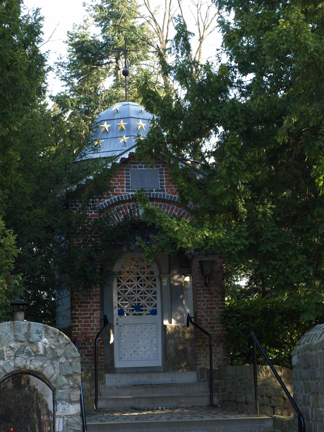
Past chapels, meadows and fields
automatic translation
6.2 km • Wiekevorst
4.6688 0 0/5
6.2 km
0.0 km
0.0 km
route offered by
Toerisme Provincie Antwerpen
 Addresse starting point (approximate)
Kerk Wiekevorst dorp
 signage
The route is partially signposted with nodes. Use a GPS device or our app to follow the route.
© Kempen
 Description
This walk goes along all kinds of slow roads. In the center, these are often the old mass roads, along which people used to go to church. We also discover some connections behind allotments, along which cyclists and pedestrians can safely get to the center. And undoubtedly the most beautiful slow roads here are the unpaved agricultural roads between the fields and fields in rural Wiekevorst.
automatic translation


 Upgrade to Premium Plus
