 Hiking
 Login
Login
 More
More
 EN
EN
 Premium
Along the Heistste Berg
automatic translation
12.4 km • Heist-op-den-Berg
5.5466 0 0/5
12.4 km
0.0 km
0.0 km
route offered by
Toerisme Provincie Antwerpen
 Addresse starting point (approximate)
Bergstraat 2A, 2220 Heist-op-den-Berg
 signage
The route is fully signposted with nodes.
© Kempen
 Description
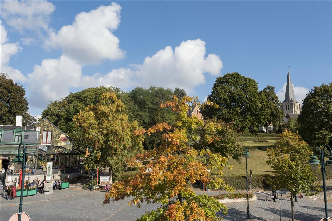
This hike takes you over and along the Heistse berg with its 48m the second highest point of the province of Antwerp. Along the way we pass the area of the Hof van Riemen (medieval restored farmstead), the Bergbos with water and observation tower and the Averegten hiking forest.
automatic translation
 nodes to follow
0 km
1.9 km
2.7 km
4 km
4.4 km
5.7 km
5.9 km
6.6 km
6.7 km
7.6 km
8.1 km
8.3 km
9.5 km
10.8 km
10.9 km
11 km
12.3 km


 Upgrade to Premium Plus
