 Hiking
 Login
Login
 More
More
 EN
EN
 Premium
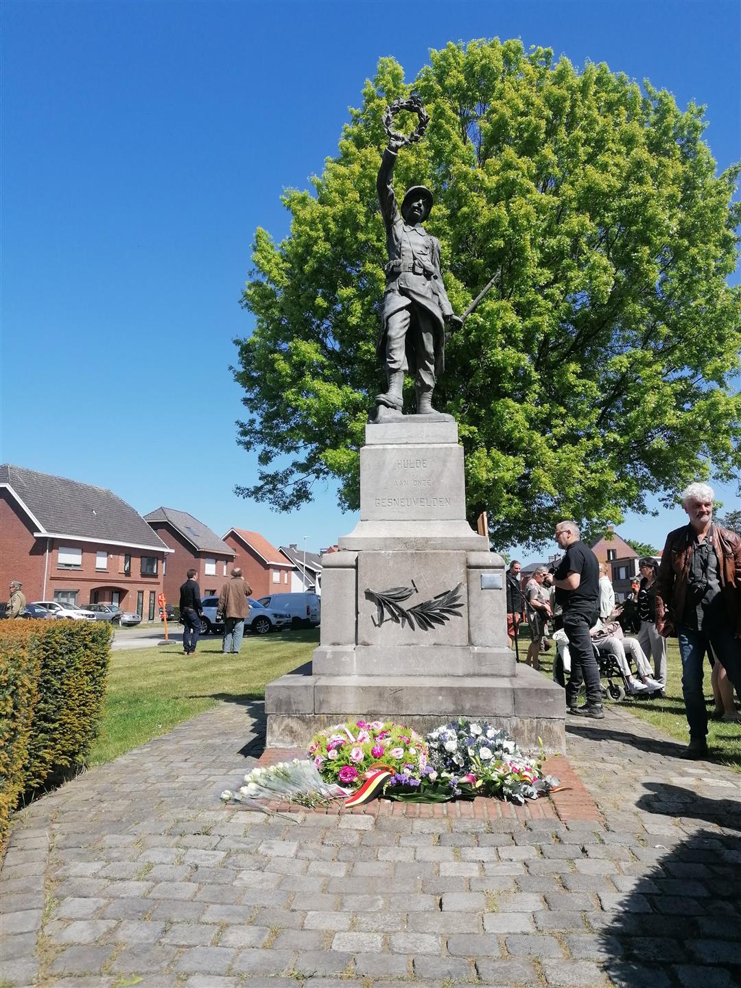
The last flight of Lancaster ME737
automatic translation
6.5 km • Herenthout
2.7022 0 0/5
6.5 km
0.0 km
0.0 km
route offered by
Toerisme Provincie Antwerpen
 Addresse starting point (approximate)
Vredesplein Herenthout
 signage
The route is not signposted. Use a GPS device or our app to follow the route.
© Kempen
 Description
During the walk you will discover the story of the last flight of Lancaster ME737, a British bomber that crashed during World War II, and life during World War II in Herenthout.
automatic translation


 Upgrade to Premium Plus
