 Hiking
 Login
Login
 More
More
 EN
EN
 Premium
Tick-tock
automatic translation
8 km • Oud-Turnhout
3.0812 1 5/5
route offered by
Toerisme Provincie Antwerpen
 Addresse starting point (approximate)
kluis kasterlee Oud-Turnhout
 signage
The route is not signposted. Use a GPS device or our app to follow the route.
 Description
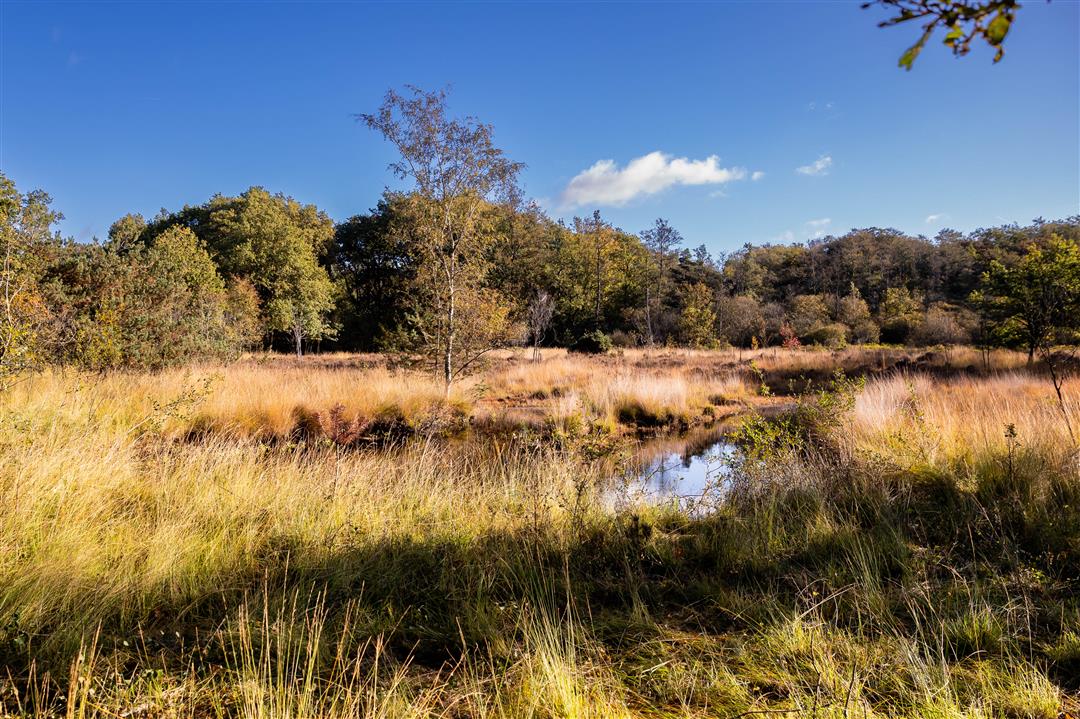
Through the Tikkebroeken meanders the Red Loop. When it rains hard the Red Loop floods and the nature reserve is flooded. Because of this combination of wet and dry areas, many animals and plants find a home there. Come discover them, but don't forget your boots.
automatic translation
Sunday, September 7, 2025 by J.B.Beautiful varied route with corn fields, forest, water, pieces of heathland, meadows and much more. With benches here and there and signs explaining the vegetation in relation to water management. Walked on a sunny September Sunday and met nobody, except some cyclists. Wonderfully quiet too; no traffic noise. Nice surprise.
automatic translation


 Upgrade to Premium Plus
