 Hiking
 Login
Login
 More
More
 EN
EN
 Premium
Silent walk
automatic translation
10.1 km • Oud-Turnhout
3.0349 0 0/5
10.1 km
0.0 km
0.0 km
route offered by
Toerisme Provincie Antwerpen
 Addresse starting point (approximate)
bezoekerscentrum, schuurhovenberg 43
 signage
The route is fully signposted with nodes.
© Kempen
 Description
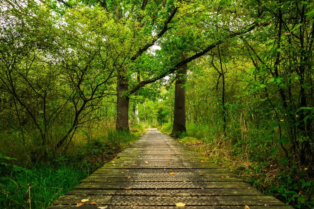
landscape De Liereman is the first official silence area in the Kempen. You can hear the regional, soothing sounds of man and nature. The landscape is a feast for the eyes: a mosaic of forests, grasslands, heaths and fens. Between all this beauty graze konik horses, shetland ponies, sheep and galloways. A plank lodge and viewing cabin allow you to experience nature in all its glory.
automatic translation
 nodes to follow
0 km
0 km
0.3 km
0.4 km
1.4 km
1.6 km
1.7 km
1.9 km
4 km
4.3 km
5.5 km
6.3 km
7.6 km
8.1 km
8.9 km
9.4 km
9.9 km
10 km
10.1 km


 Upgrade to Premium Plus
