 Hiking
 Login
Login
 More
More
 EN
EN
 Premium
Schellebelle Schoonaarde station hiking trail
automatic translation
21 km • Schellebelle
 official route
3.6019 0 0/5
21 km
0.0 km
0.0 km
 Addresse starting point (approximate)
Stationsstraat, 9260 Schellebelle
 signage
The route is fully signposted with nodes.
© Niko Caignie
 Description
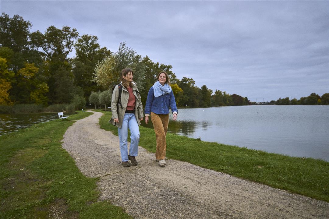
This walking route sends you on a sustainable walk, as both your start and end point are at a train station. Ideal for those who do not have a car or just feel like an environmentally friendly day trip. In Schellebelle you dive into the vast landscape of the Kalkense Meersen, to end up in Schoonaarde via the Donkmeer, old Scheldt meanders and nature reserves along the Scheldt. No shortage of cozy places to take a break!
automatic translation
 nodes to follow
0 km
0.1 km
0.2 km
0.5 km
0.7 km
1.8 km
2 km
3.2 km
3.6 km
4.3 km
6.5 km
6.9 km
7.8 km
9.3 km
10.1 km
10.4 km
11.2 km
12.4 km
13.1 km
13.6 km
15 km
15 km
15.7 km
16.3 km
16.5 km
17.2 km
17.5 km
17.6 km
17.8 km
18 km
18.6 km
19.5 km
20.5 km
20.9 km


 Upgrade to Premium Plus
