 Hiking
 Login
Login
 More
More
 EN
EN
 Premium
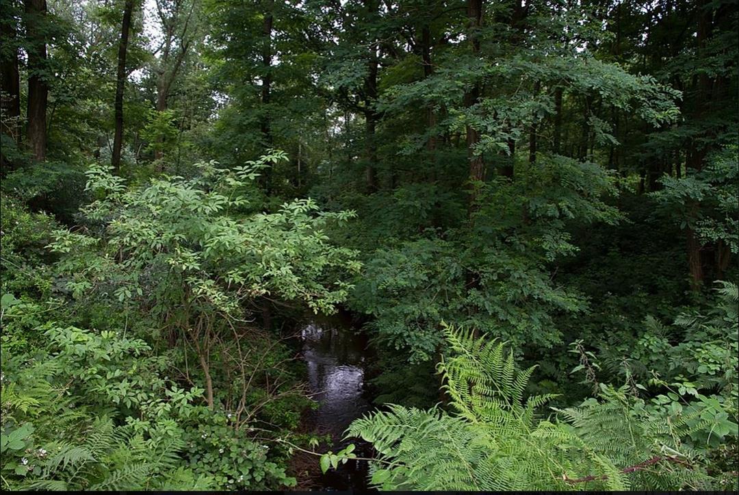
Clay Pits Walk
automatic translation
7.6 km • Oud-Turnhout
2.7386 0 0/5
7.6 km
0.0 km
0.0 km
route offered by
Toerisme Provincie Antwerpen
 Addresse starting point (approximate)
hoek Werkendam - Steenweg op Ravels 282
 signage
The route is fully signposted with nodes.
© Kempen
 Description
kkkkkkkkkkkkkkkkkkkkkkkkkkkkkkkkkkkkkkkkkkkkkkkkkkkkkkkkkkkkkkkkkkkkkkkkkkkkkkkkkkkkkkkkkkkkkkkkkkkkkkkkkkkkkkkkkkkkkkkkkkkkkkkkkkkkkkkkkkkkkkkkkkkkkkkkkkkkkkkkkkkkkkkkkkkkkkkkkkkkkkkkkkkkkk
automatic translation
 nodes to follow
0 km
0.6 km
2.5 km
3.9 km
5.4 km
6.6 km
7.6 km


 Upgrade to Premium Plus
