 Hiking
 Login
Login
 More
More
 EN
EN
 Premium
The Pink Walk: Zedelgem
7.9 km • Zedelgem
 official route
6.69220 0 0/5
7.9 km
0.0 km
0.0 km
route offered by
 Addresse starting point (approximate)
Diksmuidse heirweg, 8210 Zedelgem
 signage
The route is fully signposted with nodes.
© NodeMapp
 Description
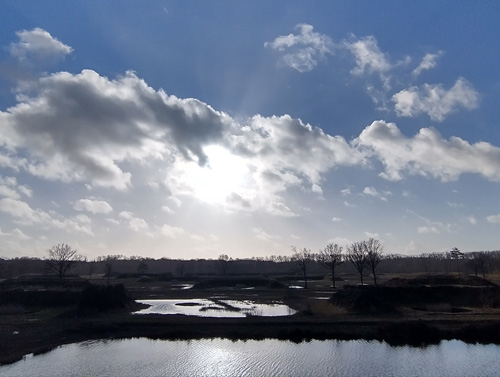
Hit the trail on Flanders' latest, signposted hiking network: Vloethemveld. You step around the former military domain and prisoner of war camp in Zedelgem. Currently, Vloethemveld is a nature reserve of about 365 hectares with forest, heathland, sparse grasslands and nutrient-poor water. This place is truly the ideal setting for a relaxing outing, an introduction to the history of the area or an adventurous exploration of nature.
automatic translation
 nodes to follow
0 km
0.1 km
0.5 km
1 km
1.3 km
1.7 km
2.6 km
3.1 km
4.4 km
5.2 km
5.5 km
5.9 km
7.6 km
7.9 km
7.9 km


 Upgrade to Premium Plus
