 Hiking
 Login
Login
 More
More
 EN
EN
 Premium
The Pink Walk: Meerhout
7.4 km • Meerhout
 official route
8.15210 1 5/5
7.4 km
0.0 km
0.0 km
route offered by
 Addresse starting point (approximate)
Begonialaan 32, 2450 Meerhout
 signage
The route is fully signposted with nodes.
© NodeMapp
 Description
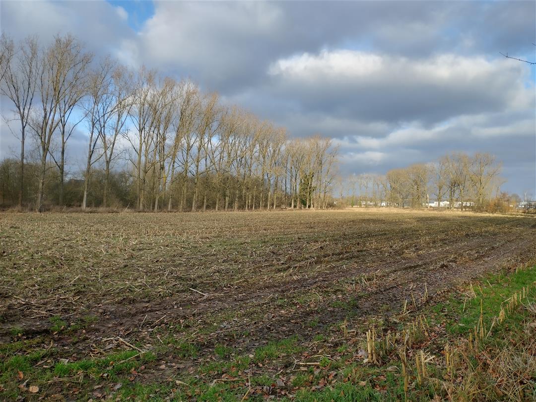
This hike forms the typical backdrop of a Kempen scene. You pass woods, meadows, marshes, fens, dunes as well as heathland. You also meander upstream along the Grote Nete and pass several ponds on your way. Deer can also jump perfectly away in the meadow next to you during this hike. The perfect variation on a rustic walk through the Kempen region.
 nodes to follow
0 km
0.4 km
0.6 km
0.7 km
1.8 km
1.9 km
2 km
2.7 km
3 km
3.4 km
3.9 km
4.3 km
4.9 km
5.4 km
5.7 km
6 km
6.9 km
7.3 km


 Upgrade to Premium Plus
