 Hiking
 Login
Login
 More
More
 EN
EN
 Premium
The Pink Walk: Ypres
7.3 km • Ieper
 official route
5.40012 2 1.8/5
route offered by
 Addresse starting point (approximate)
Parking Palingbeek, Palinkbeekstraat, 8900 Ieper
 signage
The route is fully signposted with nodes.
 Description
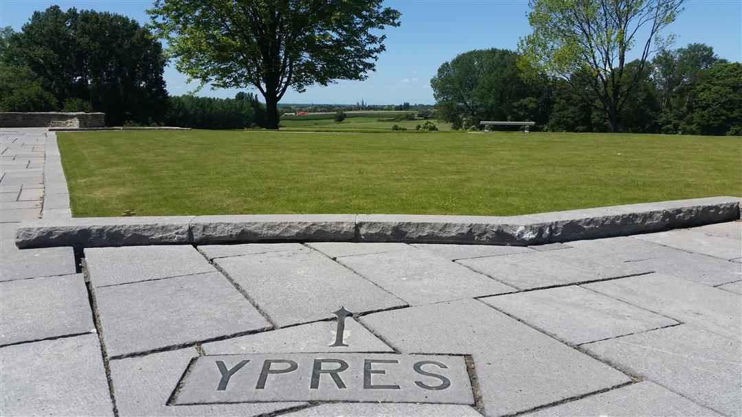
This hike traverses the Palingbeek nature preserve and provides hikers with a unique experience through West Flanders' fauna and flora. While hiking, you are also truly immersed in the local war history of this region. You pass nearby Hill60, a site where fierce battles were fought during the First World War.
 nodes to follow
0 km
1.5 km
1.7 km
3.1 km
3.2 km
4.4 km
4.5 km
5 km
5.4 km
6.1 km
6.3 km
6.3 km
6.9 km
7.3 km
Wednesday, July 29, 2026 by Michel CuvelierThat's right, the waypoints aren't correct. I didn't have any problems with the app, and the road was closed between 25 and 24, but if you just keep going straight and take the second turn, you'll make it.
automatic translation
Saturday, February 21, 2026 by C.G.We did the walk yesterday, but the junctions are not entirely correct. Fortunately, I had taken a photo of the walk—of the sign at the entrance to the park... Two numbers are missing: 15 - 48 - 13 - 12 - 27 - 28 - 24 - 23 - 39 - 22 - 21 - 19 - 18 - 17 - 16 - 15. SO 48 and 39 are not listed!!
automatic translation


 Upgrade to Premium Plus
