 Hiking
 Login
Login
 More
More
 EN
EN
 Premium
The Pink Walk: Büllingen
7.5 km • Büllingen
 official route
2.6213 0 0/5
route offered by
 Addresse starting point (approximate)
Parking Hasselpath, 4761 Büllingen
 signage
The route is fully signposted with nodes.
 Description
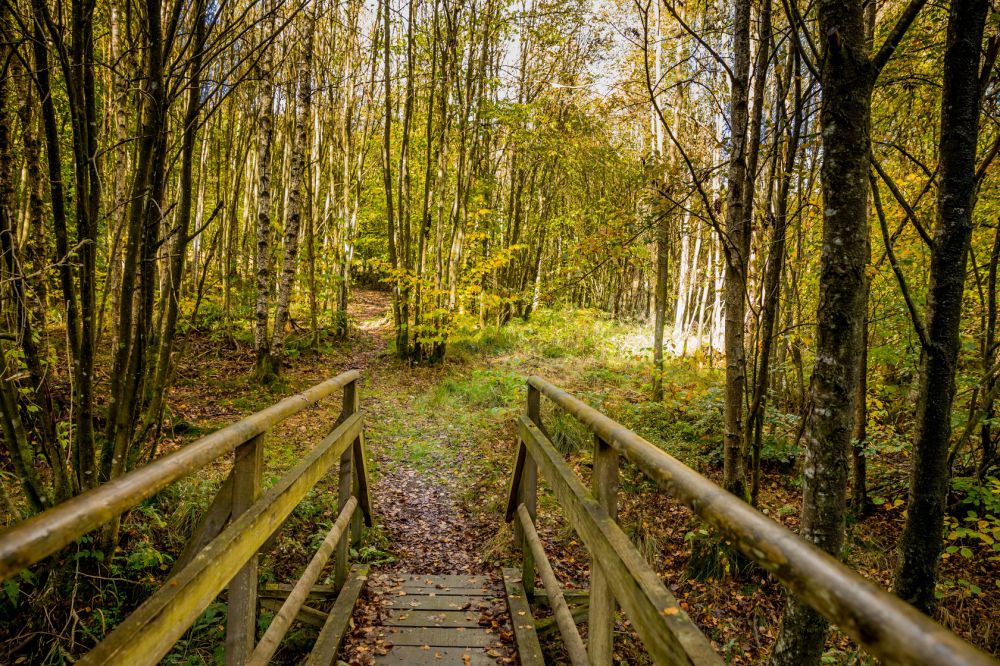
A visit to the depths of the woods. Today's hikers appreciate this conspiratory silence. As did the smugglers of olden days. On the Hasselpath, the flat country around Büllingen turns into a series of remote valleys. Access to them seems to have something secret about it and is probably only familiar to those who can go through the woods without fear. Firs and beech trees line the path through the conservation area. We continue downhill until we hit the Belgian-German border. Here, the forest is so deep and dense that it swallows all sounds and becomes shrouded in mystery.
Route offered by East Belgium Tourist Agency.
 nodes to follow
0 km
2.6 km
2.8 km
3.7 km
5.6 km
7.5 km


 Upgrade to Premium Plus
