 Hiking
 Login
Login
 More
More
 EN
EN
 Premium
Along the Zwin
automatic translation
10.7 km • Knokke-Heist
 official route
16.13011 10 2.8/5
route offered by
 Addresse starting point (approximate)
Oosthoekplein 25, 8300 Knokke-Heist
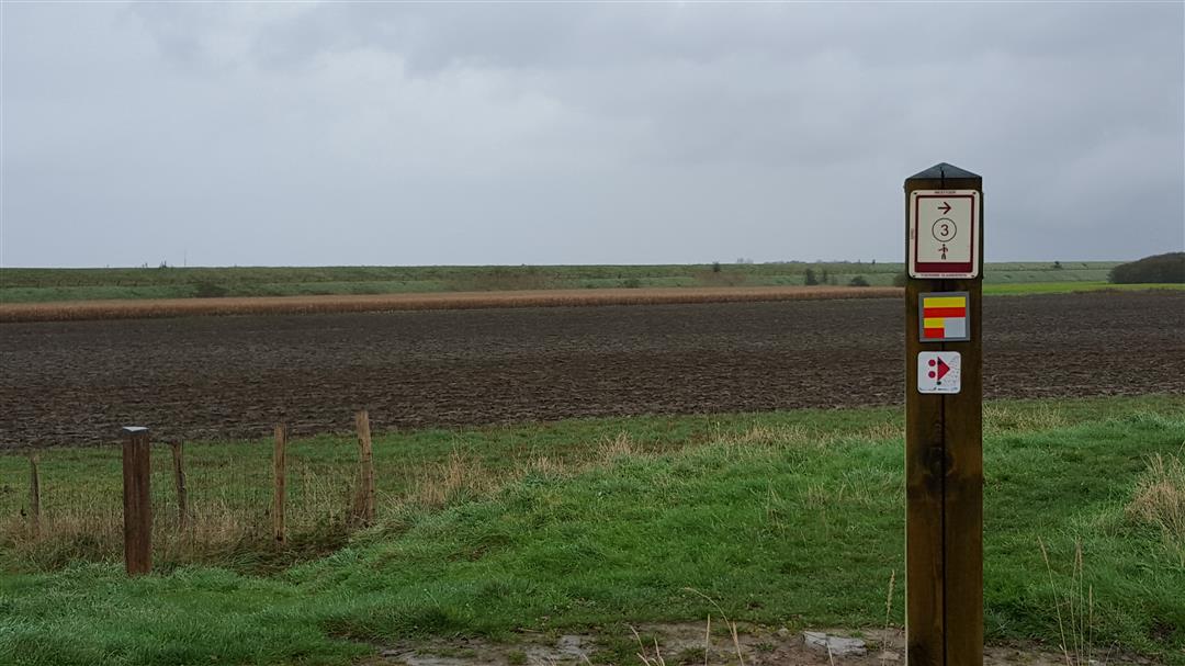
 signage
The route is fully signposted with nodes.

 Description
You start at node 5 at the Oosthoekplein in Knokke-Heist, next to Restaurant Czar. The first half hour you walk along the Hazegrasstraat, a long straight paved road through the vast polders in this area.
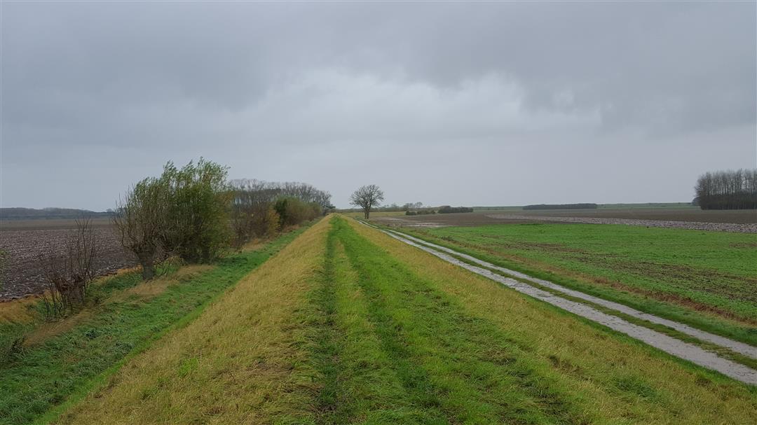
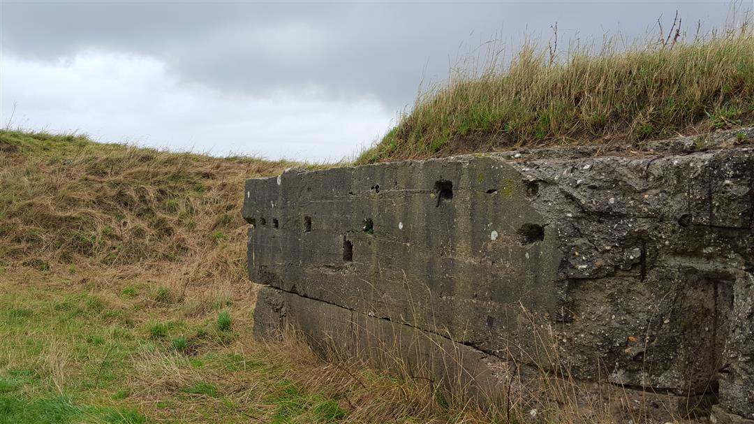
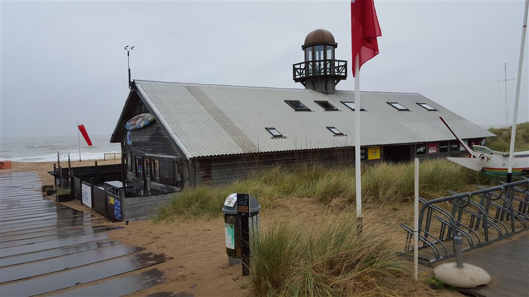
During this half hour you do pass Hoeve Hazegras where you can enjoy delicious farm ice cream. Then you walk for several kilometers along the beautiful Hazegraspolderdijk. During WW I this place was of great strategic importance to the German occupiers. You can still find many remains of bunkers, remnants of the so-called "Hollandstellung", a German line that follows the Dutch border from Knokke-Heist to Limburg. You pass by the entrance to the Zwin nature reserve. Definitely worth a visit!
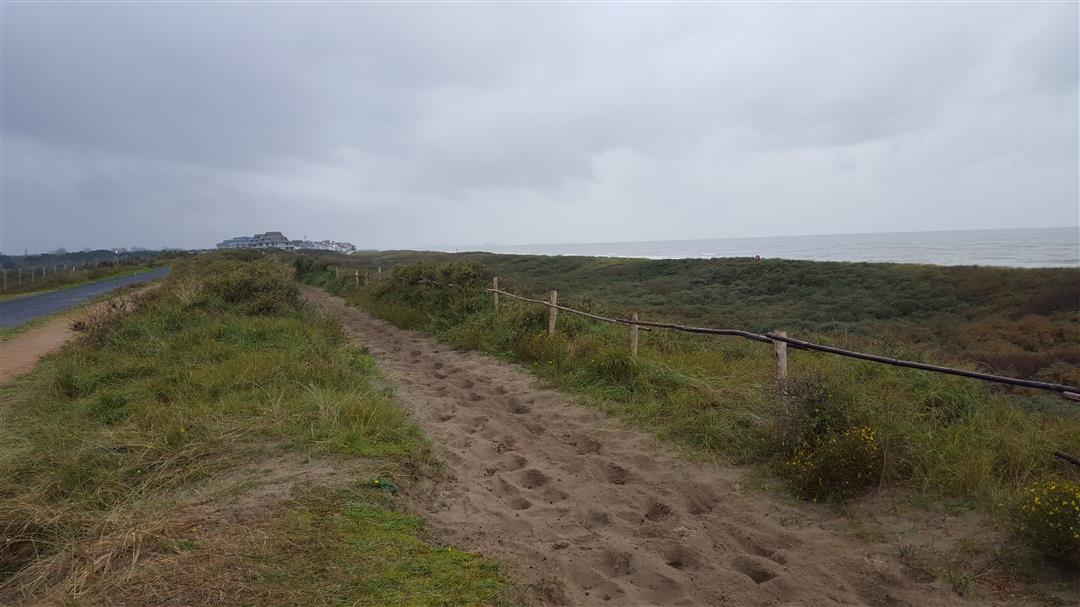
The route then winds through the beautiful polder landscape until you reach the coast. In our opinion, definitely one of the most beautiful places you can find on the Belgian coastline: the typical high-rise buildings are not to be found here. You see our coastline here as it must have been 100 years ago.
automatic translation
 nodes to follow
0 km
2.6 km
3.2 km
4.4 km
7 km
7.5 km
7.8 km
8.2 km
8.3 km
9 km
9.5 km
9.5 km
10.2 km
10.5 km
10.6 km
Thursday, November 6, 2025 by Iwein CasteelsBeautiful route
automatic translation
Monday, July 28, 2025 by Bradley Sauerare dogs allowed in this route?
automatic translation
Wednesday, January 5, 2022 by Rik KiekensFew bothered by cyclists, will also have to do with this season. First few km a bit boring and dangerous with small children. But the remaining 9 more than compensate for this.
automatic translation
Monday, October 25, 2021 by marc van uytfangheA hike consisting of a beautiful part but unfortunately also an annoying part. Great annoyance when the path has to be shared with cyclists in both directions. This part which is also close to a busy road is almost 1/3 of the total route. For me not worth repeating.
automatic translation
Monday, August 23, 2021 by Dirk CalsynPiece along Hazegrasstraat annoying and dangerous with many cyclists (luckily there was the ice cream). From the dike to the end nice, quiet, beautiful walk culminating in the Zwin,
automatic translation
Sunday, February 21, 2021 by A.N.This hike cannot be made, from Knokke center one does not find nodes.
automatic translation
Friday, September 11, 2020 by J.D.Not really a pleasant walk , especially the part between node 5 and 3 is very annoying , you have to walk on the bike path , fast cyclists in both Directions , definitely not safe , from no. 25 you have to take a field road , at the end of which you have to figure out yourself how best to find the path to continue .From no. 6 to the end is ok
automatic translation
Sunday, August 11, 2019 by Ann PauwelsThe start is along the highway and no footpath is provided. So walking among the many bicycle rebels. That takes a little too long 3 to 4 km. Definitely not recommended for hiking with children.
automatic translation
Friday, August 9, 2019 by Philippe Debacker First part (Hazegrasstraat) is not so interesting (busy lane with lots of cyclists). I was by train and the approach route to the starting point is also quite nice (first along the fancy houses of Knokke, then along a footpath between the trees). It is 2X 2.5km more.
automatic translation
Wednesday, August 15, 2018 by Isabelle DewinterFirst stretch is less successful because of too many cyclists. You have to continuously get out of the way. From the dikes super beautiful
automatic translation


 Upgrade to Premium Plus
