 Hiking
 Login
Login More
More EN
EN Premium
The Little Horst hike
automatic translation
4 km • Holsbeek
 official route
1.5050 5 4.2/5
route offered by
 Addresse starting point (approximate)
Horststraat 28, 3220 Holsbeek
 signage
The route is fully signposted with nodes.
 Description
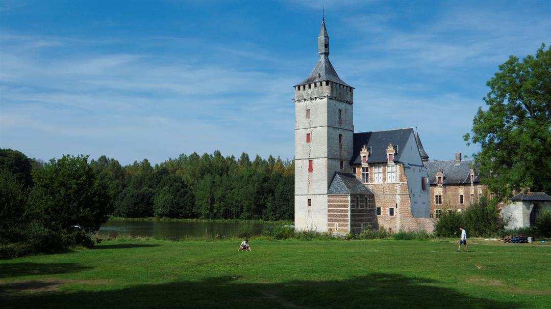
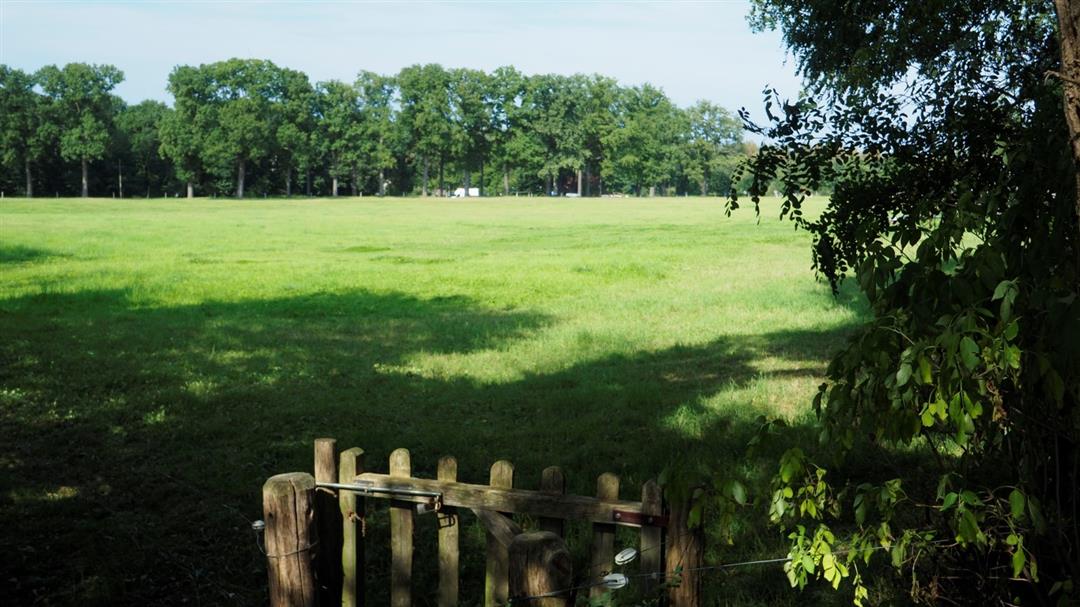
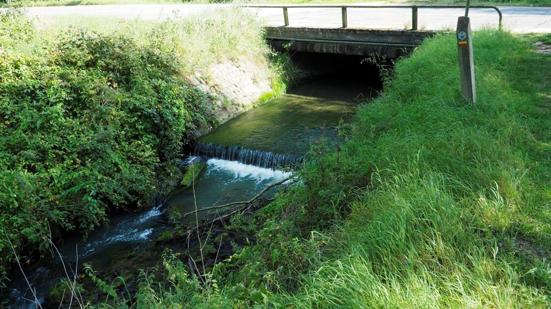
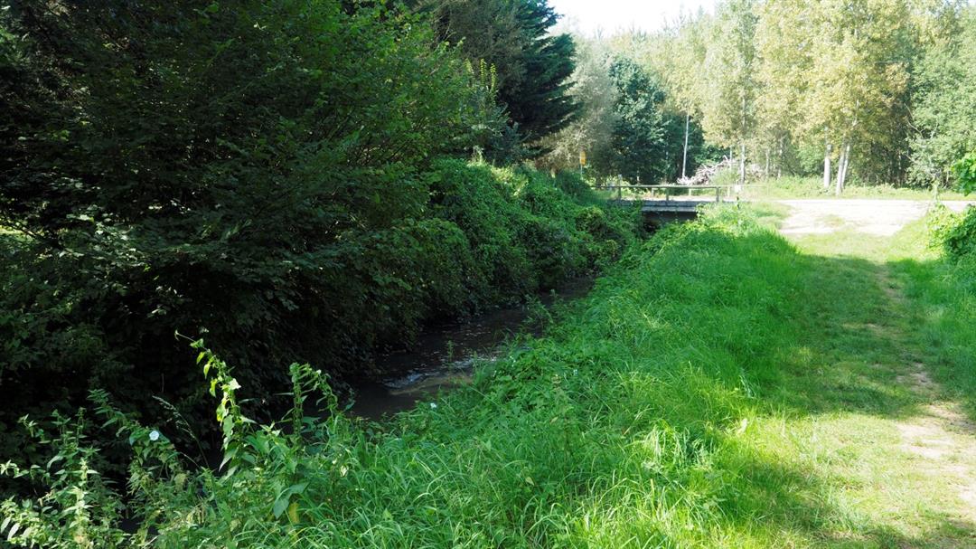
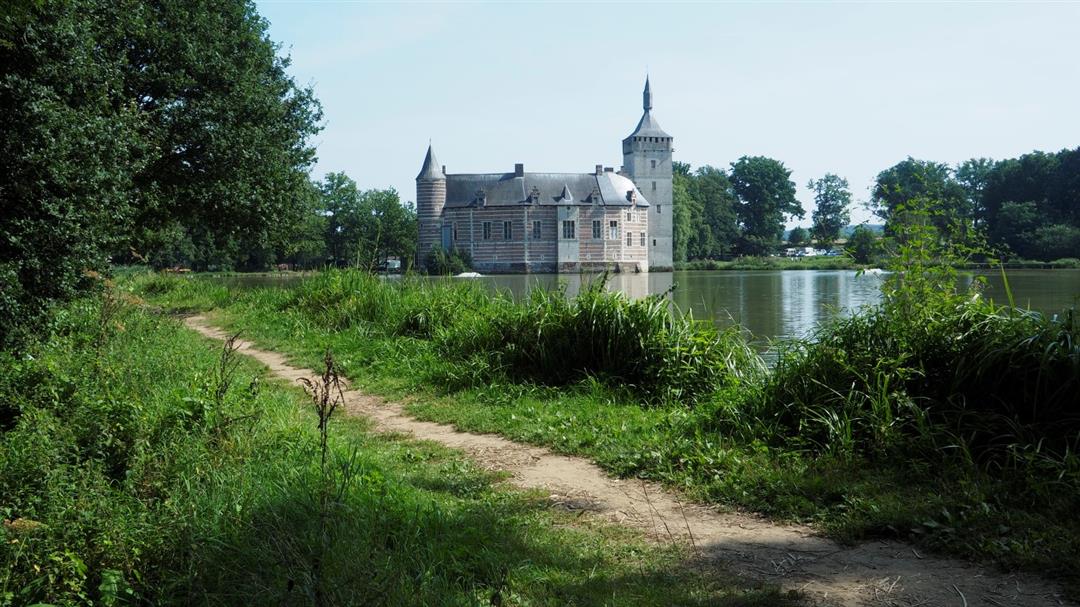
Departure at Horst Castle. There is ample parking for the car. The walk goes along the pond of the castle, leaving the domain to arrive in the neighboring village of Sint-Pieters-Rode. This, however, without leaving the wooded area. You walk along the stream that supplies the domain with water.
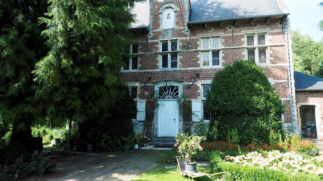
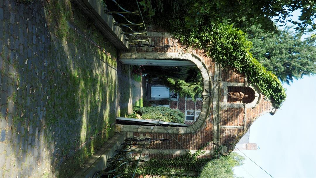
About halfway, you arrive at the presbytery of Sint-Pieters-Rode. The presbytery of Sint-Pieters-Rode (part of Holsbeek) lies at the end of a lane that connects the presbytery to the parish church. The enclosed estate is accessed via a bridge and a 17th-century gatehouse with a volute gable and a niche with a statue of Saint John. The presbytery was built in 1690 in traditional brick and sandstone style. During the 18th century, the presbytery already had to be restored after being destroyed. In the fan above the pitch-arch door the date "1771" is embedded.
Still in the central door bay is a gable stone with the abbot's coat of arms and a loading window. In 1963 the presbytery with its entrance gate and bridge was protected as a monument. Together with the Winge Valley, the vicinity of the presbytery has been a protected landscape since 2004. There you are about halfway through your hike. This then brings you back higher up into the vast fields where you have an endless view.
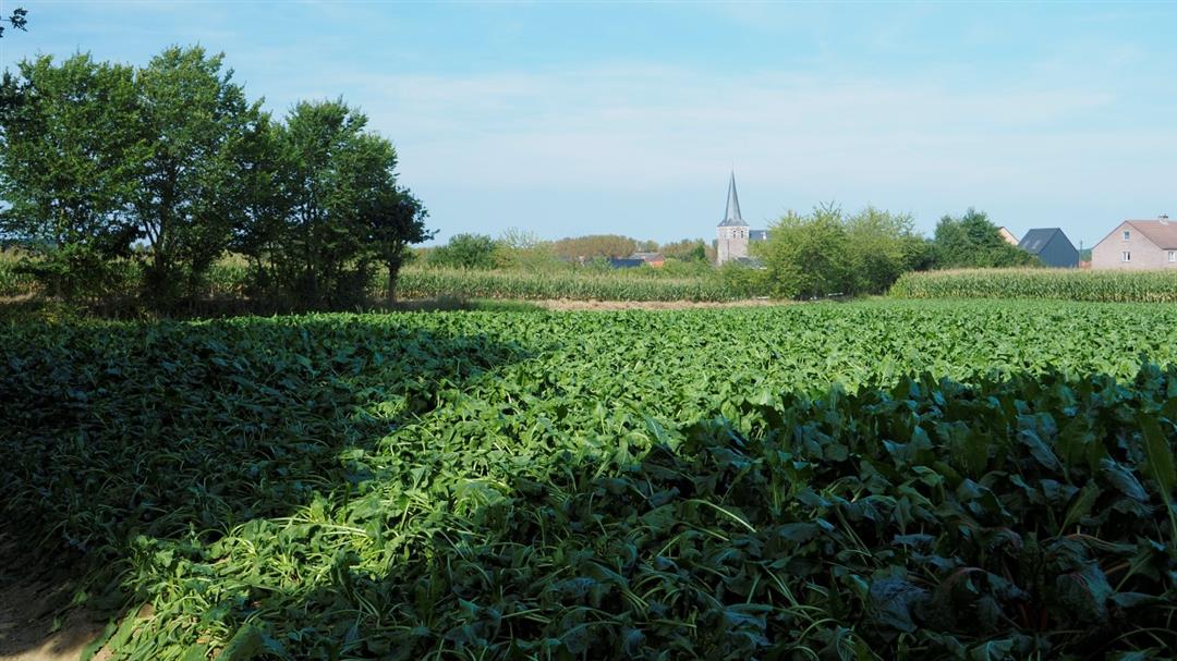
With the little church of Sint-Pieters-Rode at your back, you walk through these fields back to your starting point, the castle of Horst, also known as the castle of the Red Knight. Arriving at the castle you can enjoy a welcome drink in the local inn.
This route was sent in by Freddy Van Erp.
automatic translation
 nodes to follow
0 km
0.1 km
1 km
1.7 km
2.2 km
2.4 km
2.8 km
3.3 km
4.1 km
Thursday, July 30, 2020 by Marleen Willems Always remains a beautiful setting for me. We had not yet done the little walk which led us to discover a beautiful building (I think it was also a little castle). Definitely going to look up the history of this. To finish off on arrival at Horst Castle we had a tasty Geuze.
automatic translation
Wednesday, July 22, 2020 by Eef VerschuerenVery nice walk. Extendable on site - for those who want - with additional loops, which we did. Definitely recommended!
automatic translation
Tuesday, December 17, 2019 by Freddy Houtmeyers Hike done on 17-12-19. Beautiful location well marked route. Quite muddy especially the first loop....
automatic translation
Thursday, August 2, 2018 by R.V.Beautiful and quiet walk, regret that the Castle is currently closed. Otherwise a fine alternation between forest and field paths.
automatic translation
Monday, February 19, 2018 by I.S.Very nice hike with alternation of open plain and forests !!!
automatic translation


 Upgrade to Premium Plus
