 Hiking
 Login
Login
 More
More
 EN
EN
 Premium
Kesterheide walk
automatic translation
7.6 km • Gooik
 official route
2.2650 9 3.9/5
route offered by
 Addresse starting point (approximate)
Heidestraat 39, 1755 Gooik
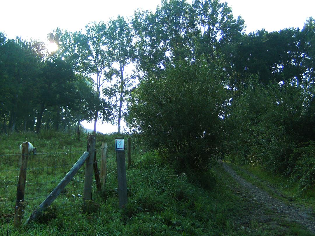
 signage
The route is fully signposted with nodes.
 Description
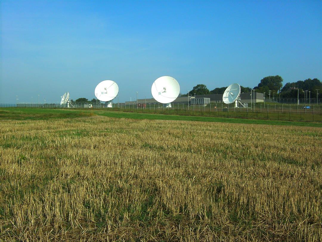
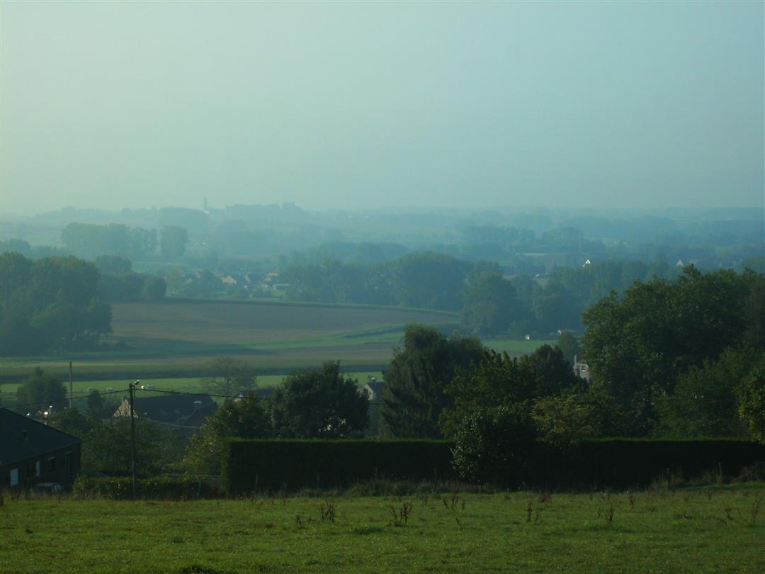
Parking is available along the Berghomstraat in Gooik. This hike goes via many picturesque country roads and the famous NATO satellite dishes on Kesterheide. The views are included for free.
This route was sent in by José Van Ransbeeck.
automatic translation
 nodes to follow
0 km
0.8 km
1 km
1.6 km
2.2 km
2.6 km
2.8 km
3.6 km
4.7 km
5.3 km
5.6 km
6.5 km
7.3 km
7.5 km
Monday, February 24, 2025 by J.S.Nice rolling hike, mostly paved roads, but nice views. Along the way did find 2 waypoints (node 246 and waypoint 243) lying on the ground due to post wood rot.
automatic translation
Saturday, July 10, 2021 by Gabrielle Van Der VoordeSuper nice walk !
automatic translation
Tuesday, March 30, 2021 by R.V.Unfortunately I do not see why everyone finds this walk so beautiful . Large part is boring paved road . nature is just boring farm country and the here so praised panoramas , being able to see far is one thing, a beautiful panorama is something else ! For me this is one of the most boring hikes I have ever made.
automatic translation
Monday, January 4, 2021 by J.H.Very nice hike. When it has rained there are parts with a lot of mud. Beautiful views of the Pajottenland. And the Kesterheide is definitely worth a visit. Ideal winter hike.
automatic translation
Sunday, May 24, 2020 by W.D.Very nice hiking trail, with lots of quiet roads and beautiful views (especially in nice weather...). Well marked (only junction 237 was difficult to see (is on the left side of the road, just after a meadow (and can have a car parked just in front of it so I had walked past it)...
automatic translation
Tuesday, March 10, 2020 by rony deroovery nice walk along small quiet roads but through the forest on the kester heath fairly heavy and muddy (super and definitely worth 5 stars)
automatic translation
Monday, April 22, 2019 by Manuel SabbeSu-per ! Through forest and field and rarely on paved roads. Top !
automatic translation
Sunday, September 2, 2018 by K.I.Most of the hike here is on asphalt, which we found very unfortunate. The bits between 246 - 243 and 253 - 254 are nice, though. The rest is not really worth it.
automatic translation
Sunday, January 7, 2018 by F.D.Winter Walk 02
automatic translation


 Upgrade to Premium Plus
