Loading...

Westelijke route van en naar Sint-Pieterskerk Leuven

44.3 km • Leuven

44.3 km 0.0 km 0.0 km

Icon starting point Addresse starting point (approximate)

Grote Markt 3, 3000 Leuven, BE

Icon type signage of route signage

The route is fully signposted with nodes.

5m 5m 5m 5m

Icon description route Description

Dit is een fietsroute van 44.3 km in de buurt van Leuven.

Icon nodes to follow nodes to follow

Image node 10
0 km
Image node TP
0.2 km
Image node 74
2.7 km
Image node 75
3.1 km
Image node 13
4.7 km
Image node 14
6.8 km
Image node 18
11.5 km
Image node 19
12.7 km
Image node 45
15 km
Image node 46
16.8 km
Image node TP
18.1 km
Image node 61
18.4 km
Image node TP
18.8 km
Image node 46
20 km
Image node 95
22.5 km
Image node 50
24.2 km
Image node 17
26.7 km
Image node 16
30.7 km
Image node 15
31.2 km
Image node 37
34.3 km
Image node 94
34.7 km
Image node 95
36 km
Image node 38
36.9 km
Image node 6
40.4 km
Image node 7
43.7 km
Image node 10
44.2 km

Which POI do you want to show on the map?

Experimental cycling network
Unsigned icon

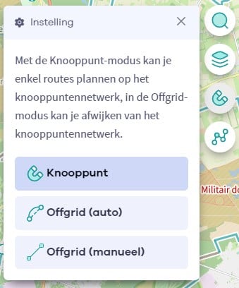
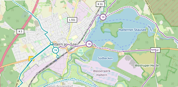
The route you have chosen runs (partly) along an experimental virtual cycling node network (the blue-coloured nodes and sections on the map).

You must be logged in to plan routes here.

Experimental cycling network
Unsigned icon

The route you have chosen runs (partly) along an experimental virtual cycling node network (the blue-coloured nodes and sections on the map).

These routes are not controlled in the field. Before you start cycling here, take a minute to read what an experimental cycling node network is and what rules you should follow when cycling here.