 Biking
 Login
Login More
More EN
EN Premium
Crossing the Hageland gravel trail
automatic translation
76.8 km • Tremelo
 official route
1.0240 1 5/5
 Addresse starting point (approximate)
Balenbergstraatje 11, 3128 Baal
 signage
The route is not signposted. Use a GPS device or our app to follow the route.
 Description
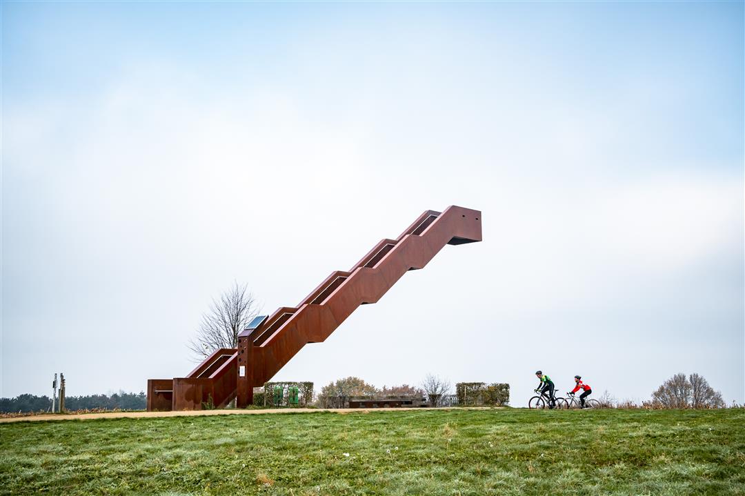
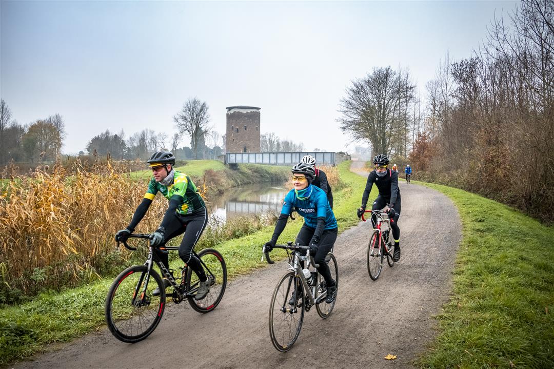
Your version of Dwars door het Hageland starts at the Sven Nys Cycling Center with a gentle run through the Meetshovenbos towards Aarschot, but when the Demer comes into view, the technical work begins. The pebbles of the gravel paths on the bank jump into the water under pressure from your tires. The muddy paths of the Demerbroeken and the forest roads of Averbode bring you to the medieval Maagdentoren in Zichem. Pick up some speed, because further on the slopes of the Grasbos await you. It is also called the Poggio of Diest and you will know it. Then it is the turn of the citadel of Diest and the Vlooyberg with the famous Vlooyberg tower at the top. When the vineyards of Houwaart come into your sights, you dream of Italian landscapes. Crossing the Hageland is not for nothing the Strade Bianche of the North. The gravel paths are really challenging for a while. Fortunately, there is a shower for you and your bike at your arrival point.
This route is offered by Tourism Vlaams-Brabant vzw.
automatic translation


 Upgrade to Premium Plus
