 Biking
 Login
Login More
More EN
EN Premium
Plateau of Moorsel route
automatic translation
34.9 km • Kortenberg
 official route
1.0290 2 3/5
route offered by
 Addresse starting point (approximate)
Parking, Gemeentehuisstraat, 3078 Everberg
 signage
The route is fully signposted with nodes.
 Description
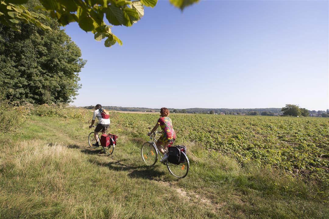
As the name suggests, you cycle here on a plateau characterized by agriculture. The undulating landscape between Brussels and Leuven provides wide vistas and sometimes surprisingly green stretches. Thanks to the land development project of the VLM, the open space of the Woluwe basin was protected and strengthened. Nature and recreation go hand in hand here. You can cycle safely across the Brussels ring road thanks to the brand new bridge for cyclists.
This route runs through the municipalities of Kortenberg, Tervuren, Wezembeek-Oppem, Machelen and Zaventem. This route is offered by Tourism Flemish Brabant.
automatic translation
 nodes to follow
0 km
2.8 km
5.4 km
7.1 km
7.7 km
8.8 km
8.8 km
12.7 km
13.8 km
15.1 km
15.1 km
15.3 km
17.5 km
19.8 km
20.4 km
22.8 km
25.7 km
28.6 km
29.5 km
31 km
31.7 km
33.7 km
34.8 km
Monday, October 16, 2023 by Guido BellensVery nice route, slightly undulating. However, there is no way to cycle from point 65 to point 92! Due to work on the industrial area, the "Harenweg" is closed. You can't even get through on foot, yes, I tried. Best is to ride from point 65 to the left, towards point 23, to the small roundabout and turn right there.
automatic translation
Monday, July 25, 2022 by H.H.I did not find any of my own signage,but I was able to put together nodes beforehand,with GPS also ok except for a few confusions
automatic translation
Monday, October 16, 2023 by Guido BellensFunny thing is, I found all the points clear.
automatic translation


 Upgrade to Premium Plus
