 Biking
 Login
Login
 More
More
 EN
EN
 Premium
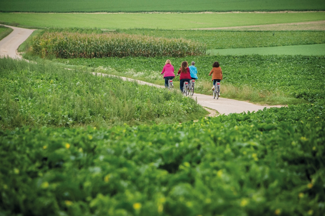
Hagelandse Streekroute
54.1 km • Bierbeek
 official route
4.09810 2 4.2/5
route offered by
 Addresse starting point (approximate)
CC De Borre, Speelpleinstraat 10, 3360 Bierbeek
 signage
The route is fully signposted with nodes.
 Description
Yes, you always have to do a bit of climbing in the Hageland. And sometimes those hills are pretty steep, just like the sections on cobblestones and unpaved roads. But this route also offers cozy cafés where you can unwind and give your legs a rest. You’ll pass by the Lindenbos, Chartreuzenbos, the Kessel-Lo Provincial Park, and the outskirts of Leuven, among other places.
Before you set off: You can also start this route at the Kessel-Lo Provincial Park, between junctions 80 and 5. You’ll then continue to junction 83 and on from there in a clockwise direction. The route will then be shorter—45 km—but still very scenic from Leuven to the Hageland and back.
automatic translation
 nodes to follow
0 km
0.1 km
0.2 km
1.3 km
4 km
5.9 km
8.5 km
11.7 km
12.5 km
13.2 km
14.8 km
18.1 km
21.8 km
22.4 km
26.5 km
27.2 km
29.9 km
33.4 km
35.7 km
36.7 km
40.3 km
40.7 km
42.4 km
43.5 km
44.4 km
45.1 km
45.6 km
45.8 km
46.8 km
48 km
48.4 km
51.3 km
52.7 km
53.9 km
53.9 km
54 km
Tuesday, April 8, 2025 by M.W.nice route with lots of good roads and not too many cars but point 81 is poorly marked.
automatic translation
Monday, March 28, 2022 by T.B.Tough route with lots of elevation gain. Thoroughly enjoyed the scenery. This cycling tour is not for beginners I personally think. In total I did 450 altimeters. Some parts are also unpaved, not ideal with a racing bike but it works if you persevere.
automatic translation


 Upgrade to Premium Plus
