 Biking
 Login
Login
 More
More
 EN
EN
 Premium
Hopbelroute
46.2 km • Asse
 official route
4.5146 2 4.8/5
route offered by
 Addresse starting point (approximate)
Parking Boekfos, Boekfos, 1730 Asse
 signage
The route is fully signposted with nodes.
 Description
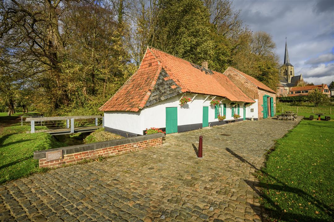
The landscape around Asse and Dilbeek used to be characterized by fields of hop poles, when this region was the most important hop-growing area in Belgium. Now there are only some remnants that remind us of that flourishing hop-growing. You can still spot hop fields here and there, e.g. along the Ternatstraat near Mostinckx House which is now a mini museum with authentic pre-1940 pieces. Along the way, you might come across a hop house (a funnel-shaped chimney in which the hop cones were dried) or the 'artful' hop field in Asse. Although there are still few hops to be seen, beer is still brewed on a large and small scale in the region. Tasting is possible at brewery Timmermans in Itterbeek or brewery Girardin in Dilbeek.
This route runs through the municipalities of Dilbeek, Ternat, Asse and Merchtem.
automatic translation
 nodes to follow
0 km
0.2 km
1.2 km
2.2 km
5.8 km
7.7 km
10.5 km
11.7 km
14.3 km
15.6 km
17.9 km
20.8 km
22 km
25.7 km
26.9 km
29.8 km
31.1 km
31.8 km
34.1 km
36.4 km
37.7 km
42.8 km
44.1 km
46 km
Monday, August 25, 2025 by Nancy Dhaesenice route with some dirt roads but still doable with a racing bike
automatic translation
Sunday, October 17, 2021 by Danny WandelsA super nice route with many small lanes BUT not recommended with a regular bike because many earth lanes and lanes with stones But still super
automatic translation


 Upgrade to Premium Plus
