Loading...

Kastelenroute

62.6 km • Pepingen

Icon official route official route

62.6 km 0.0 km 0.0 km

route offered by

Badge of official route

Icon starting point Addresse starting point (approximate)

Parking Gemeentehuis Pepingen, Ninoofsesteenweg 116, 1670 Pepingen

Icon type signage of route signage

The route is fully signposted with nodes.

5m 5m 5m 5m
© Toerisme Vlaams-Brabant

Icon description route Description

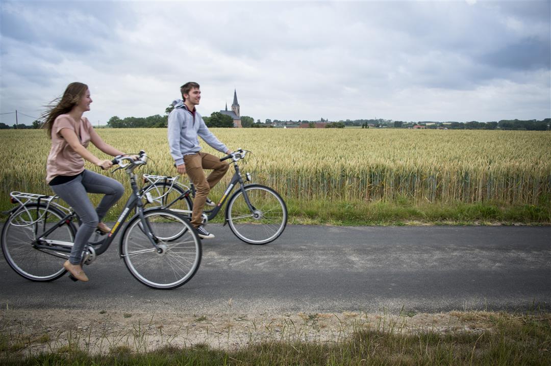
This route through hilly Pajottenland introduces you to the famous castles of Gaasbeek, Ter Rijst, Coloma and Groenenberg. But also lesser known castles such as Heetvelde, Saffelberg, and water castle Baljuwhuis will be in your sights on this challenging tour. A fresh Geuze will do you good in one of the pubs along the route.

This route runs through the municipalities of Pepingen, Gooik, Herne, Roosdaal, Lennik and Sint-Pieters-Leeuw. This route is offered by Tourism Flemish Brabant.

automatic translation

Icon nodes to follow nodes to follow

Icon start route
0 km
Icon deviation route
0.3 km
Image node 58
1 km
Image node 57
1.4 km
Image node 57
1.5 km
Image node 88
3.3 km
Image node 87
6 km
Image node 34
9.1 km
Image node 33
12 km
Image node 32
12.3 km
Image node 38
16 km
Image node 10
18.6 km
Image node 43
19.6 km
Image node 60
22.9 km
Image node 60
22.9 km
Image node 89
24.1 km
Image node 52
25 km
Image node 16
30 km
Image node 16
30 km
Image node 16
30 km
Image node 15
32.4 km
Image node 13
39.9 km
Image node 24
41 km
Image node 24
41 km
Image node 23
45.4 km
Image node 21
47.1 km
Image node 21
47.1 km
Image node 69
51.3 km
Image node 70
52.8 km
Image node 72
55.8 km
Image node 71
56.1 km
Image node 11
58.3 km
Icon deviation route
60 km
Icon deviation route
61.3 km
Icon deviation route
62.1 km
Icon stop route
62.4 km
This route has 2 review(s).
Rate route!

Sunday, July 31, 2022 by Lieven DeneyerBeautiful trail, you enjoy beautiful parks such as Coloma, Ter rice...
automatic translation

Wednesday, August 25, 2021 by Ludo Reutervery pleasant, lots of variety, highly recommended
automatic translation

Which POI do you want to show on the map?

Experimental cycling network
Unsigned icon

The route you have chosen runs (partly) along an experimental virtual cycling node network (the blue-coloured nodes and sections on the map).

You must be logged in to plan routes here.

Experimental cycling network
Unsigned icon

The route you have chosen runs (partly) along an experimental virtual cycling node network (the blue-coloured nodes and sections on the map).

These routes are not controlled in the field. Before you start cycling here, take a minute to read what an experimental cycling node network is and what rules you should follow when cycling here.