 Biking
 Login
Login
 More
More
 EN
EN
 Premium
Bank hopping
automatic translation
49.9 km • Boom
 official route
7.47012 2 3.8/5
route offered by
 Addresse starting point (approximate)
start: Hoek 129, 2850 Boom
 signage
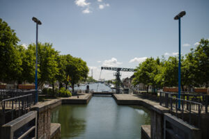
The route is fully signposted with nodes.
 Description
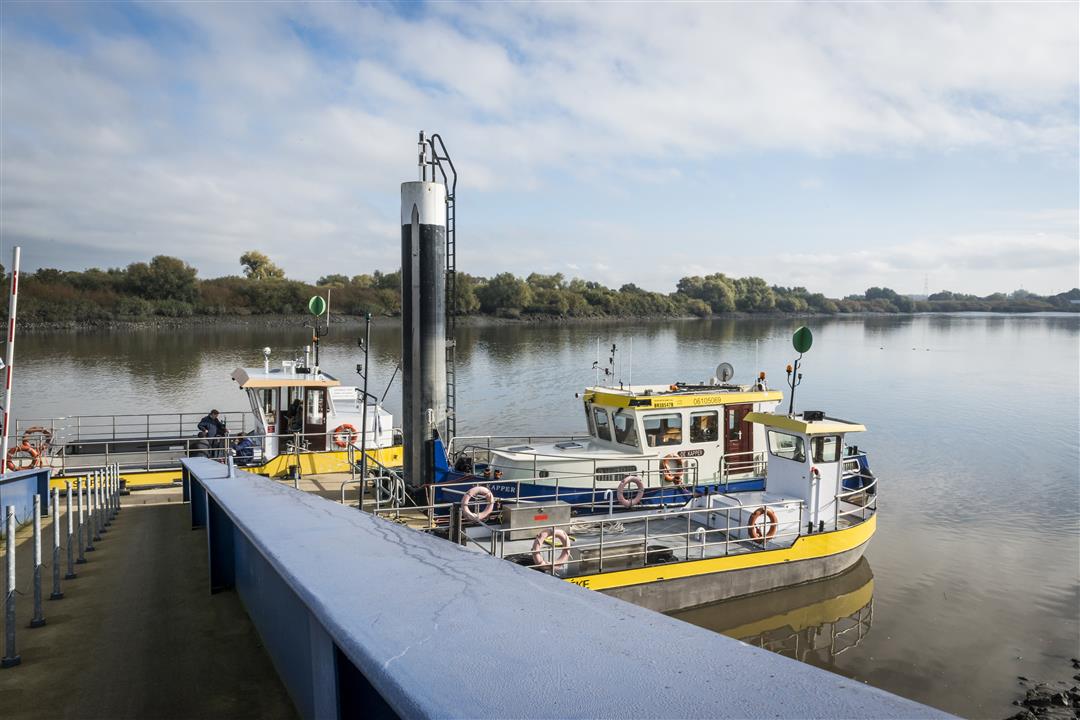
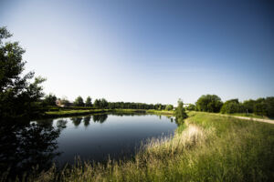
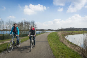
The Oeverhoppen route between Rupelstreek and Heerlijkheid Mechelen explores the vast watery outlying area between the Rupelstreek and Mechelen.
From the starting point at the De Velodroom cycling experience center (node 26), it passes the mile-long towpaths of Rupel, Dijle and Zenne, interspersed with bike paths along numerous ponds and lakes created in former sand and clay mining pits.
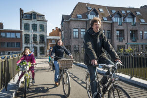
The route passes the historic center of Mechelen, open agricultural land, rural villages and the authentic Sasplein of Klein-Willebroek. It also connects four domains of the province of Antwerp: De Schorre, De Nekker, the Vrijbroek Park, Broek De Naeyer and 2 domains of Sport Vlaanderen: the Hofstade domain and the water sports course in Willebroek.
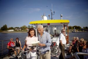
The route comes in 3 distances: a child-friendly loop of 17 km; a shortened loop of about 28 km and a full loop of 51 km. Various catering establishments along the route invite you to enjoy a regional dish or regional beer.
automatic translation
 nodes to follow
0 km
3 km
3.8 km
4 km
4.2 km
4.4 km
5.3 km
5.4 km
8.5 km
8.7 km
12.1 km
14.1 km
16.5 km
16.5 km
16.6 km
19.6 km
21.8 km
21.9 km
22.8 km
25.3 km
26.1 km
28.6 km
29 km
30.3 km
32 km
35.3 km
35.4 km
35.6 km
38.7 km
40.2 km
42.7 km
42.8 km
46.4 km
47 km
48.4 km
48.4 km
48.8 km
49.4 km
50 km
Thursday, March 17, 2022 by W.B.Very nice,almost car-free route with the Zennegat, the Mechelen city center, the sports park Hofstade and the water sports course.Sometimes we had to search for detour due to road works.At KP 78 we did go wrong,because KP 1 could not be found.We then drove the last part back as at the beginning to reach the parking lot of the Schorre.
automatic translation
Saturday, June 26, 2021 by Britt MullemanBeautiful route with lots of variety...only regret is that we missed a part because of the detour due to works on a bridge in Mechelen and thus did not pass through the Nekker. It was a bit of a search to find the junctions there.
automatic translation


 Upgrade to Premium Plus
