 Biking
 Login
Login
 More
More
 EN
EN
 Premium
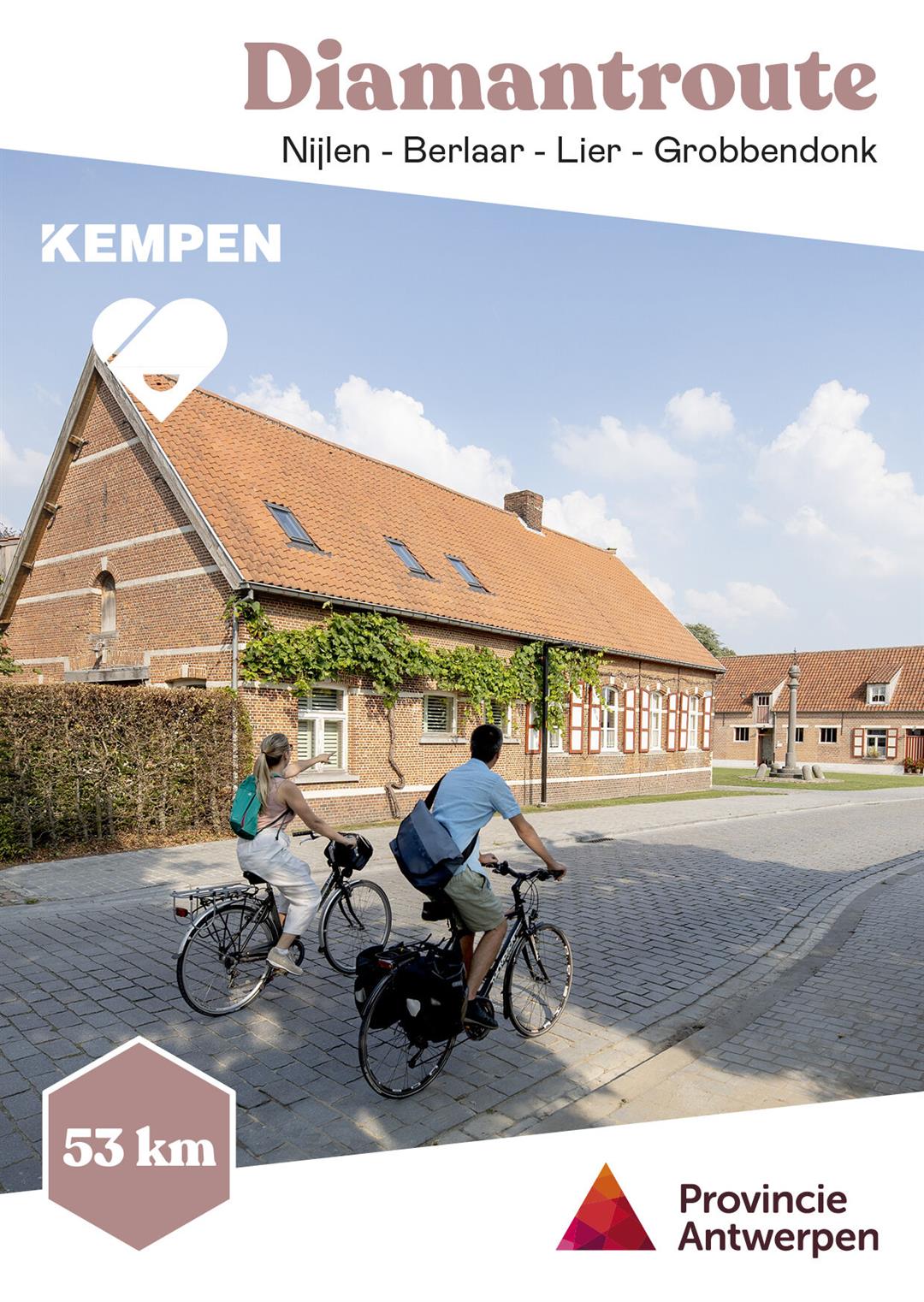
Diamond Road
automatic translation
51.1 km • Nijlen
 official route
8.1838 2 2.2/5
 Addresse starting point (approximate)
Spoorweglei 42, 2560 Nijlen
 signage
The route is fully signposted with thematic signs (no nodes).

 Description
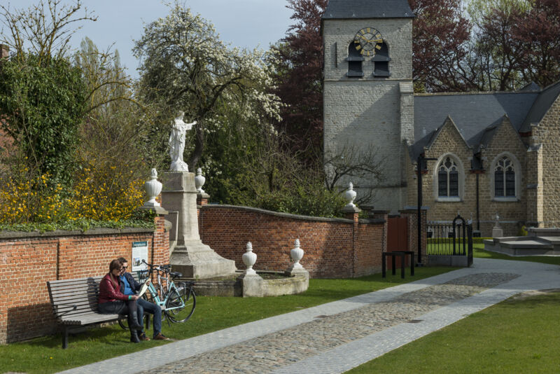
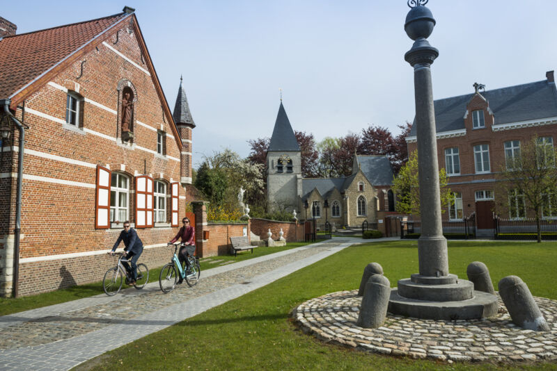
In 1885, the first grinding shop was established in Nijlen. In the following years a real industry developed in the Kempen. Diamonds brought prosperity to the region. During the 60s and especially 70s and 80s the tide turned. The move of production to low-wage countries, technological innovations and increased government control at home meant the end of rural industry. Want to learn more about diamond history in the Kempen? Then stop along the way at the information signs with QR code and listen at the audio post to testimonies from the past.
automatic translation
Alternative versions
Friday, April 29, 2022 by Marc CaldersBeautiful bike route, indeed clockwise to follow. Part along the Kleine Nete is broken up and inaccessible. Too bad nobody bothered to indicate this beforehand. Also some confusion when suddenly a shortened route appears.
automatic translation
Saturday, April 23, 2022 by Peter De herdtThe route, as sketched on the website of Vlaanderen Fietsland, runs in the opposite direction!!! and is also neatly indicated with signs but then in WAYS !!!!! I am a "bicycle godfather" for the province of Antwerp and regularly check this Diamantroute. Now I notice that the direction is wrongly indicated on this site.
automatic translation


 Upgrade to Premium Plus
