 Biking
 Login
Login
 More
More
 EN
EN
 Premium
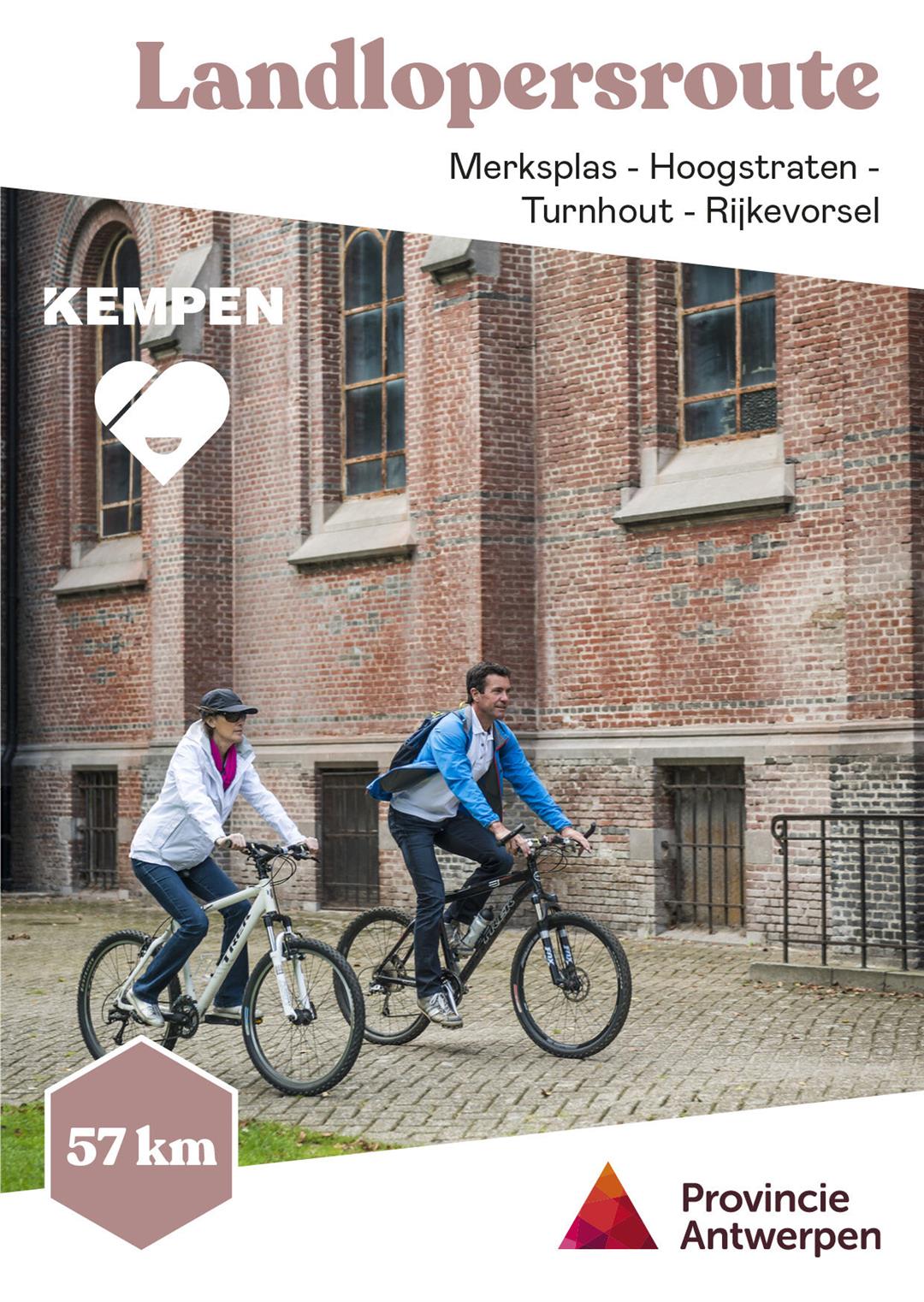
Tramp Route
automatic translation
52.9 km • Merksplas
 official route
10.4048 0 0/5
52.9 km
0.0 km
0.0 km
 Addresse starting point (approximate)
Kapelstraat 10, 2330 Merksplas
 signage
The route is fully signposted with thematic signs (no nodes).
© Toerisme Provincie Antwerpen
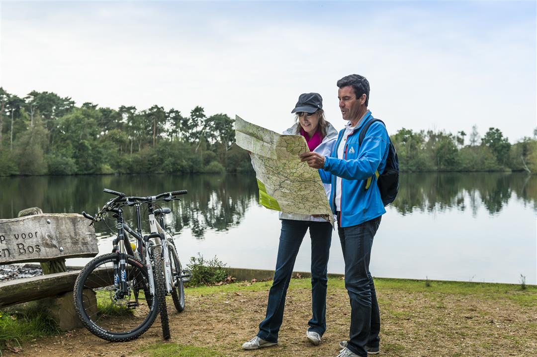
 Description
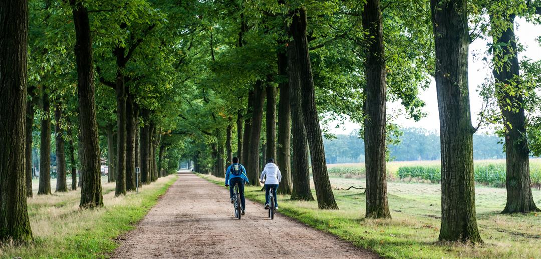
The former vagrant colonies in Wortel and Merksplas offer a fascinating mix of nature, heritage and stories. Together with the Dutch colonies, they stood at the cradle of modern thinking about poverty care and the belief in a socially engineered society.The dead straight avenues reflect the discipline and order that used to reign there. Both colonies, together more than 1,000 hectares in size, are now protected as landscapes and most of the buildings are protected monuments.
automatic translation


 Upgrade to Premium Plus
