Biking
 Login
Login
 More
More
 EN
EN
 Premium
Two Abbeys Route
automatic translation
39.4 km • Oudenburg
 official route
9.51710 3 3.8/5
route offered by

 Addresse starting point (approximate)
Marktstraat 31, 8460 Oudenburg
 signage
The route is fully signposted with nodes.
 Description
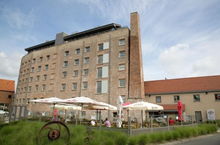
On the Two Abbeys Route, we pause at two important sites in Gistel and Oudenburg: Ten Putte Abbey and the Roman Archaeological Museum with remains of St. Peter's Abbey. Along the way we dish up some special places of peace and quiet, away from the hustle and bustle, where it is wonderful to relax.With thanks to Westtoer.
automatic translation
 nodes to follow
0 km
0.8 km
1.4 km
1.5 km
4 km
4.1 km
8 km
8.2 km
8.7 km
13.1 km
14.5 km
18.5 km
20.2 km
21.5 km
23.5 km
27.6 km
29 km
32.1 km
32.3 km
35.6 km
36.3 km
36.8 km
38 km
39.3 km
Wednesday, July 22, 2026 by L.R.A beautiful route, but we had a lot of trouble with incorrect waypoints. Three times, the waypoints listed didn't match the ones we actually encountered (and no, we hadn't taken a wrong turn....)
automatic translation
Wednesday, May 27, 2026 by L.A.A varied route; I really liked a certain gravel path through the fields, but the bike lane was extremely narrow, so you had to stay very focused—in some places it was barely 10 cm wide, dangerously narrow. The updated junction numbers hadn’t been updated everywhere, so if you weren’t following the map on your smartphone, you’d get lost.
automatic translation
Monday, August 30, 2021 by I.D.Very nice trip along either bike trails or very quiet roads. Very nice - I found - were the gravel roads between the fields.
automatic translation



 Upgrade to Premium Plus