 Biking
 Login
Login
 More
More
 EN
EN
 Premium
Land van Asseroute
40.3 km • Asse
 official route
5.52812 11 4.1/5
route offered by
 Addresse starting point (approximate)
Gemeenteplein 1, 1730 Asse
 signage
The route is fully signposted with nodes.
 Description
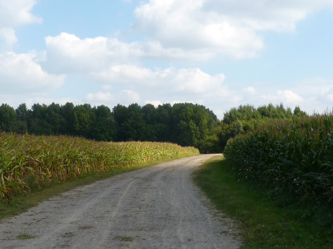
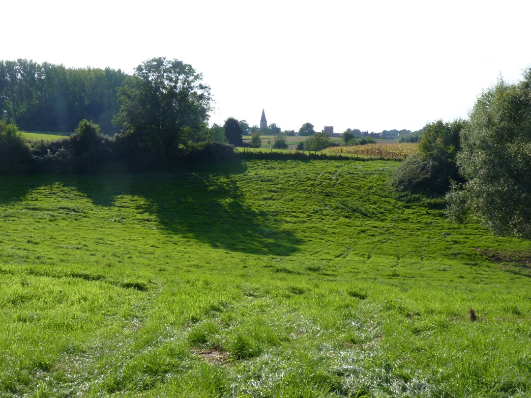
A bike ride full of variety and a few challenging climbs through Asse and villages such as Brussegem, Kobbegem, Asbeek, and Essene. Next to the brewing kettles of the Mort Subite brewery, you’ll find the centuries-old village inn ‘t Wit Paard, where it seems as though time has stood still. Along the way, you’ll regularly enjoy sweeping views of the rolling farmland.
automatic translation
 nodes to follow
0 km
1 km
4.1 km
5 km
6.9 km
7.8 km
9.6 km
11.4 km
13.4 km
16.9 km
17.9 km
20.2 km
21.4 km
24.3 km
25.3 km
26.6 km
29.9 km
31.8 km
32.4 km
33.4 km
34.3 km
35.9 km
37.5 km
40.2 km
Sunday, November 27, 2022 by D.V.BEAUTIFUL ROUTE. WE DID IT EVEN IN THE DRIZZLE.WE DID EXTEND IT A BIT AND STARTED IN WEMMEL (JUNCTION 42)VERY VARIED AND NOT MUCH TRAFFIC. ALSO FORTUNATELY NOT MUCH ALONG MAJOR ROADS (ONLY CROSSINGS)
automatic translation
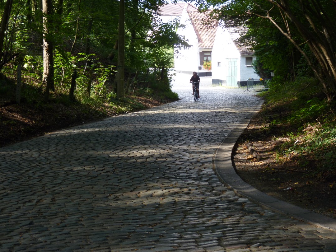
Friday, August 21, 2020 by Johan FrancoisAt 28° this route was a challenge. 0I didn't know there were still so many cobblestone lanes around Asse. And if you go to 10 % incline on some of the cobblestones then you know enough. It doesn't seem possible to me to do this route without an electric drive. The landscapes and the tranquility, so close to Brussels, make up for a lot.
automatic translation
Sunday, May 10, 2020 by Peter Vanden DriesscheIn full coronacrisy time a nice family cycling trip. Good weather and stopping in Brussegem for a local ice cream shop. What more could a man need!
Beautiful trail, really.
automatic translation
Wednesday, April 15, 2020 by L.S.April 2020. Beautiful route. Nicely marked but some signs were hidden behind a pole or branch. So looking out. Be careful on unpaved roads with racing bikes, but there are really not that many. A few cobblestones that hurt the hole et some nice hills, short and powerful.
Calm roads, often in agricultural areas.
automatic translation
Wednesday, April 1, 2020 by N.V.My regular training route with MTB. Watch out for the unpaved parts. With some nice climbs.
automatic translation
Sunday, July 15, 2018 by Luk Willemsand for your information: (because Vlaams Brabant doesn't think it's worth reporting this) the pictures are from my camera.
automatic translation
Sunday, July 15, 2018 by Willems LukThis loop is NOT a bike button route. The directions are correct and the gpx-gdb track (at least mine) is correct to within 2 meters.
Don't underestimate the inclines, short but severe.
And some cobbled sections à la Paris-Roubaix.
Scenery very varied and often beautiful: the fewer houses, the more beautiful.
Good lap times with touring bike between 1h30 and 2 hours. What about the road bike? In any case: a good practice ride.
automatic translation
Monday, July 24, 2017 by R.M.We really enjoyed the bike route. And all the signs were there. Ridden this route on Wednesday evening July 19 and left here at home at 8pm.
automatic translation
Saturday, July 22, 2017 by E.C.At the starting point you see plenty of signs but once you have to find the next one there is nothing hanging around, the same along the way, each time in the center of a town/village.
The GPS file is also not to follow, sends you on wrong paths. No, this ride is better to follow with nodes.
automatic translation
Tuesday, May 30, 2017 by K.D.Nice route. Lots of green but still some mountains to climb.
For people who want to make an intensive bike ride as well as for a pleasure trip on a Sunday afternoon.
Do not forget to recharge your batteries at the market of Asse. :-)
automatic translation
Wednesday, August 3, 2016 by P.G.Very beautiful and varied route along rural roads. Along the way there are some (tough) hills. Definitely worthwhile.
automatic translation


 Upgrade to Premium Plus
