Loading...

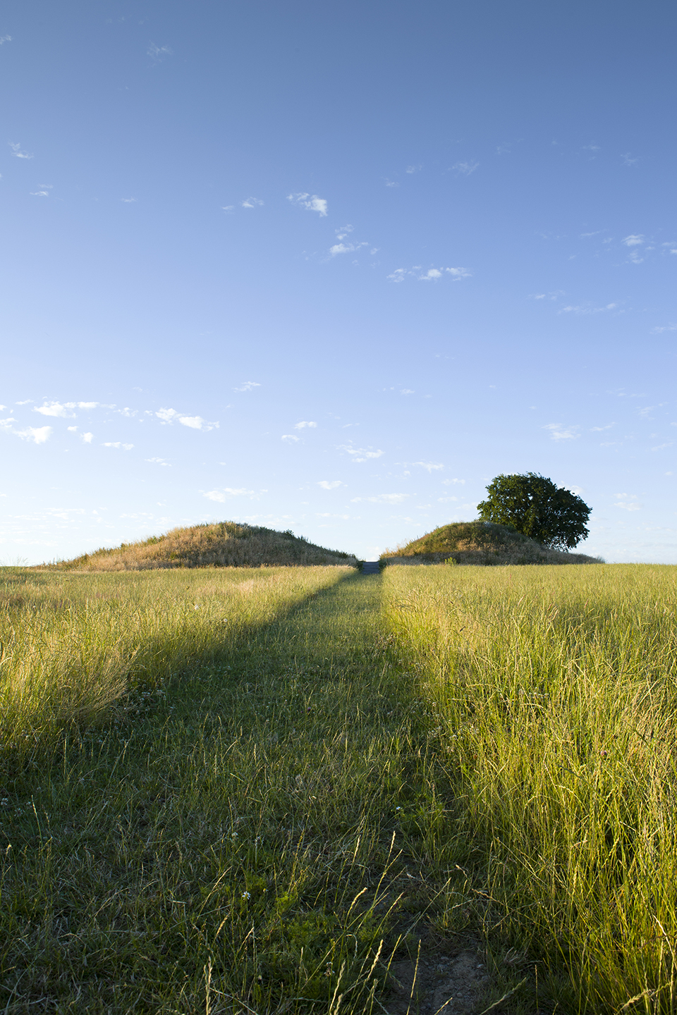
Cycling along tumuli

automatic translation

59.2 km • Sint-Truiden

Icon official route official route

3.6169 0 0/5

59.2 km 0.0 km 0.0 km

route offered by

Badge of official route

more info

Icon starting point Addresse starting point (approximate)

Stationsplein 65, 3800 Sint-Truiden

Icon type signage of route signage

The route is fully signposted with nodes.

5m 5m 5m 5m
© Toerisme Limburg

Icon description route Description

This route with some moderate climbs takes you through open landscapes with square farms and church villages. The Panorama Basin of the Water Group gives you a phenomenal view. You also cycle along the old Roman road that connected Cologne and Bavay. Highlights are the Gallo-Roman tumuli, nearly 2,000-year-old burial mounds.

automatic translation

Icon nodes to follow nodes to follow

Image node 188
0 km
Image node 187
0.4 km
Image node 358
4.2 km
Image node 186
5.1 km
Image node 185
10.6 km
Image node 184
13.1 km
Image node 182
15.7 km
Image node 183
19.3 km
Image node 511
21.9 km
Image node 192
24.9 km
Image node 280
26 km
Image node 510
32 km
Image node 282
32.7 km
Image node 181
36.2 km
Image node 165
38.6 km
Image node 166
40.8 km
Image node 184
46.2 km
Image node 185
48.7 km
Image node 134
53.8 km
Image node 135
55 km
Image node 188
59 km
This route does not have any reviews yet. Be the first!
Rate route!

Which POI do you want to show on the map?

Experimental cycling network
Unsigned icon

The route you have chosen runs (partly) along an experimental virtual cycling node network (the blue-coloured nodes and sections on the map).

You must be logged in to plan routes here.

Experimental cycling network
Unsigned icon

The route you have chosen runs (partly) along an experimental virtual cycling node network (the blue-coloured nodes and sections on the map).

These routes are not controlled in the field. Before you start cycling here, take a minute to read what an experimental cycling node network is and what rules you should follow when cycling here.