Loading...

Surprising Feeding

automatic translation

38.6 km • Voeren

Icon official route official route

38.6 km 0.0 km 0.0 km

route offered by

Badge of official route

more info

Icon starting point Addresse starting point (approximate)

Pley 13, 3798 Voeren

Icon type signage of route signage

The route is fully signposted with nodes.
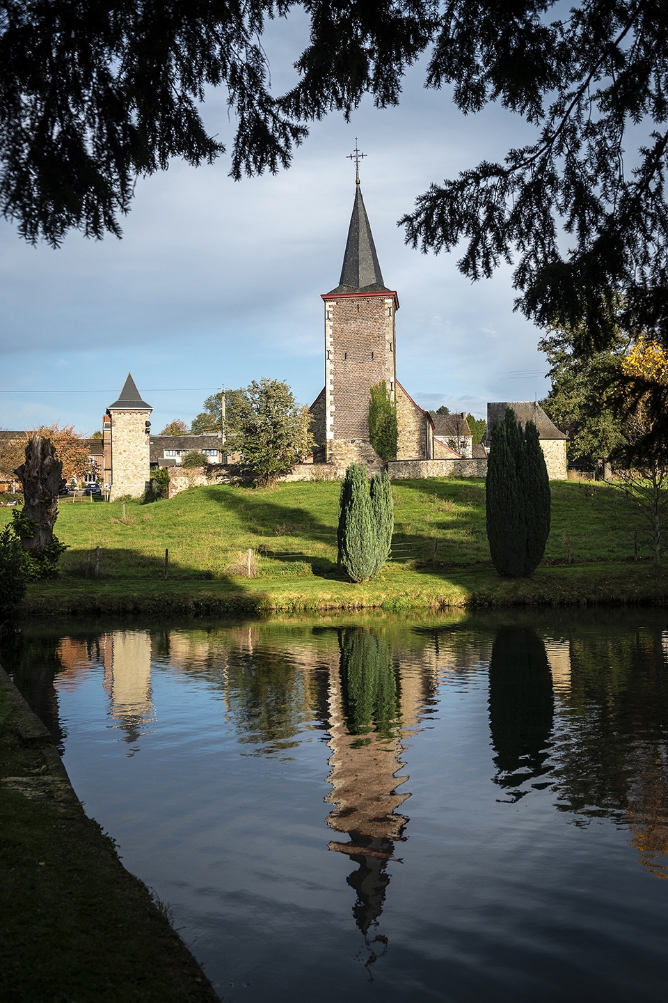
5m 5m 5m 5m
© Toerisme Limburg

Icon description route Description

This bicycle route guides you through the hilly, monumental landscape of the Voer region. You cycle through a scenery dotted with castles, square farms, half-timbered houses, ...

automatic translation

Icon nodes to follow nodes to follow

Image node 431
0 km
Image node 430
4.7 km
Image node 429
5 km
Image node 429
5.1 km
Image node 428
8 km
Image node 428
8.1 km
Image node 427
9.8 km
Image node 426
10.8 km
Image node 425
18.4 km
Image node 424
20.8 km
Image node 423
23.3 km
Image node 422
24.6 km
Image node 421
28.5 km
Image node 420
31.1 km
Image node 77
33.1 km
Image node 76
33.8 km
Image node 76
33.8 km
Image node 78
35.3 km
Image node 100
36 km
Image node 431
38.6 km
This route does not have any reviews yet. Be the first!
Rate route!

Which POI do you want to show on the map?

Experimental cycling network
Unsigned icon

The route you have chosen runs (partly) along an experimental virtual cycling node network (the blue-coloured nodes and sections on the map).

You must be logged in to plan routes here.

Experimental cycling network
Unsigned icon

The route you have chosen runs (partly) along an experimental virtual cycling node network (the blue-coloured nodes and sections on the map).

These routes are not controlled in the field. Before you start cycling here, take a minute to read what an experimental cycling node network is and what rules you should follow when cycling here.