 Biking
 Login
Login
 More
More
 EN
EN
 Premium
Demerroute
51.8 km • Aarschot
 official route
5.2605 2 2.8/5
route offered by
 Addresse starting point (approximate)
Parking Demervallei, Demervallei 8, 3200 Aarschot
 signage
The route is fully signposted with nodes.
 Description
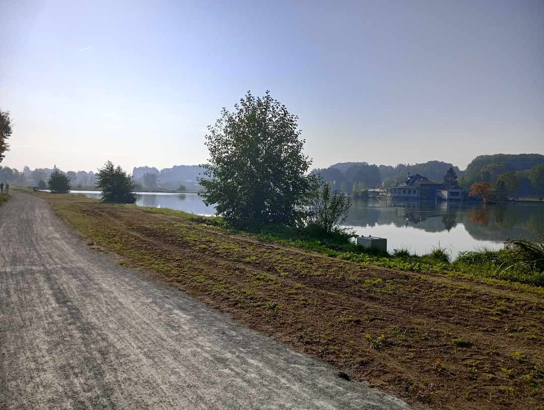
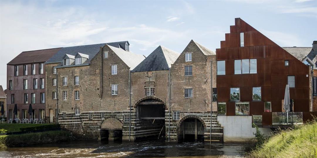
In Aarschot, you can go in two directions, using the Demer as your guide: upstream through Schoonhoven Park to Testelt, or downstream to where it flows into the Dijle near Werchter. Or combine them into a large loop and pass three Demer landmarks: in Langdorp, you can enjoy the view of a meandering stretch of river no less than 35 meters long at the former mooring site for ships. The Corten steel toll booth on the Demer Bridge in Betekom once actually stood there. In Werchter, you’ll walk among the treetops of ancient oaks along a suspended, winding path. This was once a resting place for boat haulers.
Please note: the section between junctions 14 and 51 is closed until the end of 2026.
automatic translation
 nodes to follow
0 km
0.2 km
2.9 km
8.3 km
8.5 km
9.8 km
12.2 km
13.4 km
17.2 km
20.3 km
21.1 km
23.5 km
23.7 km
24.5 km
25.2 km
26.8 km
28.2 km
33.1 km
33.3 km
34.1 km
36.4 km
38 km
39.4 km
41.3 km
43.9 km
46.1 km
49.6 km
50.2 km
50.6 km
51.4 km
51.6 km
Friday, July 12, 2019 by Henri TheunisDeparted from Molenstede in the direction of Zichem,
so to node 57.It is a beautiful route but in Aarschot it is searching for the signs, especially at the station.
The unpaved parts are tiring and heavy.
For the rest everything went well.
automatic translation
Wednesday, July 3, 2019 by J.H.about 40% of the circuit consists of unpaved fine gravel, well rideable but not pleasant when present to such an extent, on the return this was the cause of a painful fall.
In Aarschot the number signs are not well visible, especially sign 16 and sign 10 very difficult to find, 4 times lost the way each time in the city, better 20 kilometers further to Limburg to cycle.
automatic translation


 Upgrade to Premium Plus
