Biking
 Login
Login
 More
More
 EN
EN
 Premium
Rock Werchterroute
36.9 km • Rotselaar
 official route
5.51911 3 4.5/5
route offered by

 Addresse starting point (approximate)
Werchterplein 1, 3118 Werchter
 signage
The route is fully signposted with nodes.
 Description
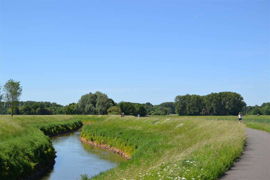
With the mecca of rock music as your destination, you’ll cycle through the land of the Demer and the Dijle. You’ll pass the “Plas van Rotselaar” and the medieval Ter Heide Tower, the fortified Kraneveldhoeve, the Leuven-Dijle Canal and the Dijle River itself, the Wijgmaalbroek nature reserve, and many other sights. You’ll cycle along Bondgenotenlaan to the historic heart of Leuven, so be sure to take your time there for a well-deserved break.
automatic translation
 nodes to follow
0 km
3.7 km
3.8 km
7.8 km
9.4 km
11 km
14.2 km
15.1 km
18.2 km
19.6 km
20.7 km
21.2 km
22.8 km
23.4 km
24.1 km
24.8 km
26.5 km
26.9 km
30.8 km
31.6 km
34.9 km
36.8 km
Monday, April 19, 2021 by J.U.Very nice route, in spring along blossom fields. Not 250 altimeters according to my strava though, only about 80.
automatic translation
Saturday, September 12, 2020 by Rohnny SteuckersSuper quiet cozy route
automatic translation
Thursday, July 16, 2020 by B.W.Beautiful route along the quiet lanes of Werchter , Wakkerzeel , Wijgmaal & Leuven
automatic translation



 Upgrade to Premium Plus