 Biking
 Login
Login
 More
More
 EN
EN
 Premium
Vinneronde
20.5 km • Zoutleeuw
 official route
3.2613 0 0/5
20.5 km
0.0 km
0.0 km
route offered by
 Addresse starting point (approximate)
Het Vinne, Ossenwegstraat 70, 3440 Zoutleeuw
 signage
The route is fully signposted with nodes.
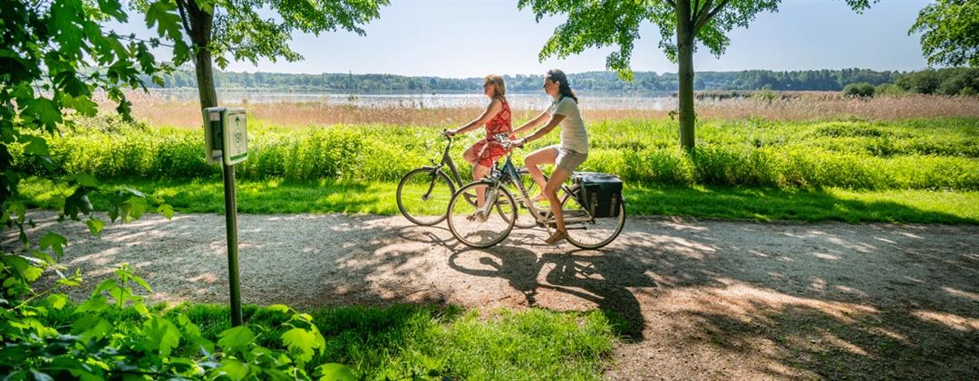
© Lander Loeckx
 Description
You’ll explore rural Zoutleeuw along flat, accessible roads, and for a short while you’ll also cross the provincial border into Wilderen and Duras. You’ll pass the Het Vinne Provincial Park and ride through rows of apple and pear trees in the fruit orchards along the way. In early spring, as the blossoms open, they paint the region in shades of white and pink. The icing on the cake is the center of Zoutleeuw, the artistic gem of Flemish Brabant with its medieval charm.
automatic translation
 nodes to follow
0 km
0.1 km
1 km
2.4 km
2.7 km
3.6 km
3.7 km
8 km
8 km
10 km
13.8 km
14.2 km
17.6 km
18.5 km
18.9 km
19.5 km
20.4 km


 Upgrade to Premium Plus
