 Biking
 Login
Login
 More
More
 EN
EN
 Premium
Pajotse Panoramaroute
39.6 km • Roosdaal
 official route
6.4139 5 4.8/5
route offered by
 Addresse starting point (approximate)
GC Het Koetshuis, Strijtemplein 15, 1760 Strijtem (Roosdaal)
 signage
The route is fully signposted with nodes.
 Description
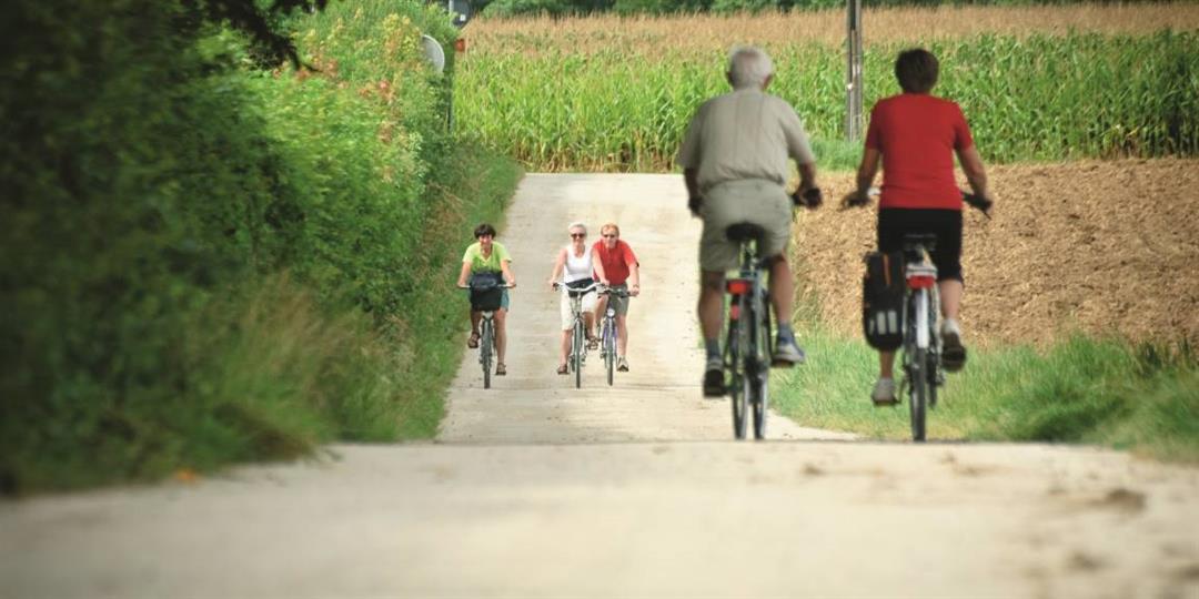
Start at the Community Center the Koetshuis in Strijtem. Discover the many beautiful Pajottenland vistas and wonderful historical heritage of Gooik, Roosdaal and Lennik. Take a break at one of the cozy cafes along the way to recuperate from the hard work.
automatic translation
 nodes to follow
0 km
0.9 km
1.9 km
3.5 km
4.2 km
4.2 km
6.6 km
7.7 km
12.2 km
13.5 km
15.3 km
15.6 km
17.3 km
19.9 km
20.9 km
24.2 km
24.2 km
25.4 km
29.4 km
31.1 km
31.6 km
31.7 km
32.2 km
35.3 km
38.5 km
39.4 km
Friday, July 11, 2025 by Patrick De vylderbeautiful route hilly but only regret that there are so few cafes or restaurants,and the cafe that are there were all closed.
automatic translation
Tuesday, March 30, 2021 by David De vriendtA nice, hilly route, mostly along quiet lanes with a few stretches of the defunct Valley Titles Route (in reverse). The stretches on unpaved roads are not too bad. Junction 39 is around a corner and tss 51 and 14 there is a sign wrong. Even in corona time you can go for an ice cream (2x) / take away coffee.
automatic translation
Thursday, July 30, 2020 by A.P.very nice route with a tough start. definitely recommended
automatic translation
Sunday, August 4, 2019 by Lisette MertensWonderful bike route except for a few comments :
At a T-point with the Egypt track
Was no junction point to be found.
On trail few directions definitely unclear. Sometimes hidden behind pole, numbers invisible
automatic translation
Friday, March 29, 2019 by Ronny HoudartVery nice route .lots of uphill but definitely worth doing.
automatic translation


 Upgrade to Premium Plus
