 Biking
 Login
Login
 More
More
 EN
EN
 Premium
Gambrinusroute
41.1 km • Londerzeel
 official route
4.2367 3 3.5/5
route offered by
 Addresse starting point (approximate)
Brouwerijstraat 29, 1840 Londerzeel
 signage
The route is fully signposted with nodes.
 Description
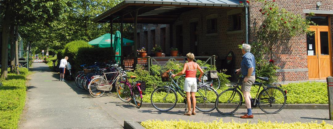
A delightful bike route from brewery to brewery: Palm Breweries in Steenhuffel, Grimbergen Abbey Brewery, and Moortgat Brewery just across the provincial border in Breendonk. Along the way, you’ll pass the Imde forest chapel and the Liermolen in the Maalbeek Valley. You’ll end your ride at the beautiful Diepensteyn Castle, where you can admire the Brabant draft horses in all their glory. You can unwind afterward at bistro 't Leireken in Steenhuffel, a former train station that serves as a reminder of the now-defunct Londerzeel-Aalst railway line.
automatic translation
 nodes to follow
0 km
4.8 km
6.8 km
8.3 km
8.8 km
12.7 km
13 km
13 km
14.8 km
15.7 km
16.4 km
19.6 km
21.9 km
22.3 km
22.3 km
26.3 km
27.5 km
29.1 km
32.6 km
38.2 km
38.5 km
41 km
Friday, July 8, 2022 by Eddy VertongenLots of bad bike paths and from no 55 you have to ride to no 28 in Kapelle Op Den Bos !
automatic translation
Sunday, May 8, 2022 by L.S.Beautiful roads through forests, fields and some villages. We rode the route on May 1, 2022 with our tandem. We did not encounter any dangerous situations. All bike paths not always asphalt but okay. Highly recommended.
automatic translation
Sunday, June 14, 2020 by R.P.Bike paths in several places in poor condition and dangerous.
automatic translation


 Upgrade to Premium Plus
