Biking
 Login
Login
 More
More
 EN
EN
 Premium
Vliegtuigspottersroute
32.4 km • Steenokkerzeel
 official route
4.77613 1 2/5
route offered by

 Addresse starting point (approximate)
Kerk van Humelgem, Perpetstraat z/n, 1820 Steenokkerzeel
 signage
The route is fully signposted with nodes.
 Description
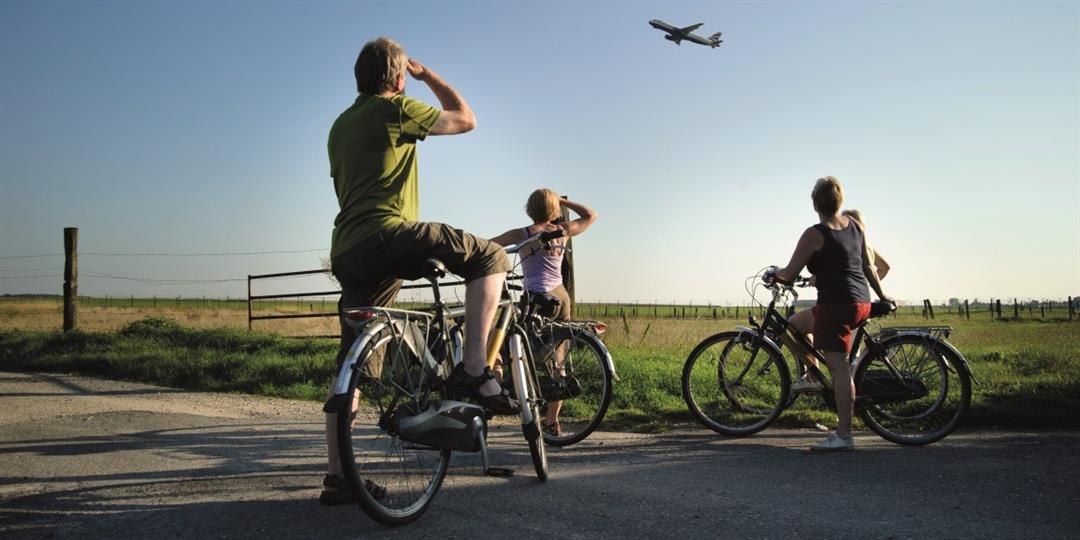
Ready for a bike ride that takes you all the way around the airport? You’ll start at the picturesque little square by the church in Humelgem. Where you cross the extension of the runways, you’ll find yourself right beneath the impressive roar of the planes as they tear past just above your head. From the plane-spotting platforms, you’ll look over the fence and watch the planes touch down. You’ll also discover the Floordambos and the Woluweveld, a patch of open space within the Brussels Ring Road. You’ll cycle across the country’s longest bicycle bridge, and in Diegem, the church with its tiara-shaped tower is sure to catch your eye.
automatic translation
 nodes to follow
0 km
0.5 km
1.2 km
4.1 km
6.9 km
9.5 km
10.8 km
10.9 km
11.1 km
13.3 km
15.6 km
16.2 km
19.7 km
21.7 km
22.6 km
24.3 km
26.2 km
27 km
32.3 km



 Upgrade to Premium Plus