 Biking
 Login
Login
 More
More
 EN
EN
 Premium
Damiaanroute
44.2 km • Tremelo
 official route
4.7749 3 4.2/5
route offered by
 Addresse starting point (approximate)
Damiaanmuseum, Pater Damiaanstraat 37, 3120 Tremelo
 signage
The route is fully signposted with nodes.
 Description
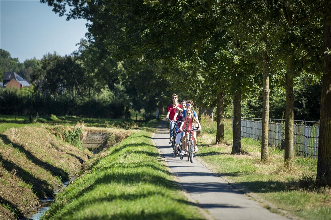
This bike route takes you from the birthplace of our “Greatest Belgian,” Father Damien, to his grave in the crypt of St. Anthony’s Chapel in Leuven. A fascinating journey along the banks of the Dijle, the Demer, and the Leuven Canal. You’ll pass by the Rotselaar Lake and the Kessel-Lo Provincial Estate, where you’ll always find a perfect spot for a picnic. Along the route, information signs tell you more about the Dijle Line that once ran through this area.
automatic translation
 nodes to follow
0 km
0.6 km
0.8 km
4.5 km
6.4 km
9.6 km
10.4 km
12.7 km
15.9 km
18.5 km
20.2 km
20.9 km
21.6 km
22.1 km
23.9 km
24.4 km
25.6 km
27 km
30.1 km
31.4 km
34.9 km
38.2 km
39.6 km
43.2 km
43.3 km
43.5 km
44.1 km
Wednesday, July 21, 2021 by P.D.Beautiful route. Part of the route was closed due to flooding. The route goes right through Leuven center where you have a view of the station, town hall,... Varied route between culture and nature.
automatic translation
Monday, September 7, 2020 by Marc Smetssomething for everyone: towpaths, fields, city('t is busy again in Leuven)even a piece of forest. very nice route: highly recommended
automatic translation
Friday, May 3, 2019 by P.F.Some very nice stretches in this route. Where the route runs along waterways it can be crowded. There are a few unpaved sections in the route that are doable on a road bike. The signage is mostly very clear, occasionally some searching tgv works.
automatic translation


 Upgrade to Premium Plus
