 Biking
 Login
Login
 More
More
 EN
EN
 Premium
Kruierroute
automatic translation
50 km • Balen
5.31710 5 4/5
route offered by
Toerisme Provincie Antwerpen
 Addresse starting point (approximate)
Berg 1, 2490 Balen (knooppunt 57)
 signage
The route is fully signposted with nodes.
 Description
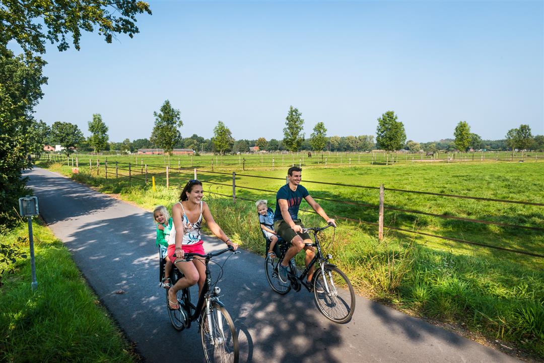
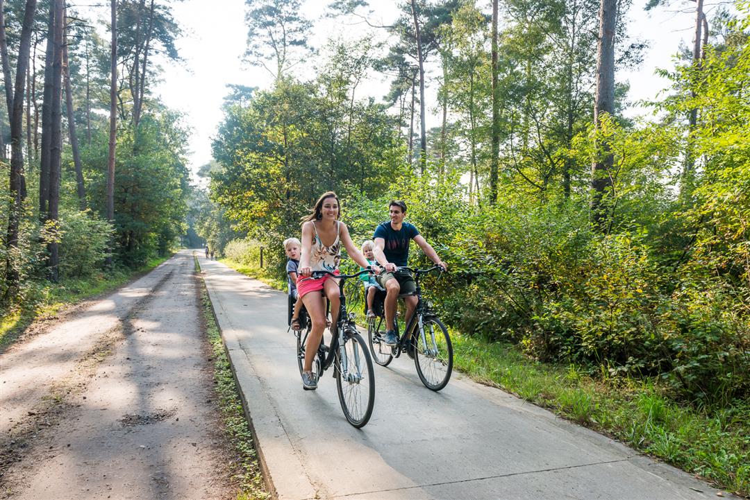
The name of this bicycle loop refers to the derision of the inhabitants of Balen.In the fifteenth century, wild dunes dominated the landscape there. The people of Balen toiled for months to remove the excess sand and prepare the site for the construction of their church. This was done the traditional way: with wheelbarrows. This Kruierroute introduces you to the most beautiful bits of nature and striking sights in Balen. From picturesque corners near mills or canals to public attractions such as Recreation and Nature Park Keiheuvel and Pakawi Park.
automatic translation
 nodes to follow
0 km
2.4 km
4.8 km
5.7 km
9.1 km
11 km
13.3 km
17.5 km
17.5 km
18.3 km
22.7 km
26.3 km
27.1 km
27.2 km
29.8 km
30.8 km
33.7 km
34.3 km
39.1 km
39.7 km
40 km
41.1 km
41.3 km
41.3 km
43.2 km
44.5 km
46.9 km
48.8 km
49 km
49.1 km
49.4 km
49.6 km
50 km
Wednesday, October 16, 2024 by Ludo SlegersSuper beautiful !!! variety of houses, nature, silence, rest, etc..... Most roads are paved, a must. Only the catering industry is a bit lacking. Everything is very well indicated ! 🚴🏻♀️🚴🏻🚴♂️
automatic translation
Sunday, July 31, 2022 by Kristien LamonDid this route yesterday, with high expectations, but still a little disappointed. The first 10 km were almost always in residential areas, lots of busy streets and brick roads to cross which was dangerous in itself. The stretch along the water was of course blissful.
automatic translation
Friday, September 24, 2021 by Lieve Willemshalokes, very varied route , forest , field , along water , through villages . Beautiful stop places for picnic. And even catering what more could you want. Very quiet roads that are safe even though there are no real bike paths . Be sure to read the info given on the street signs . Do the ride.
automatic translation
Wednesday, August 1, 2018 by P.K.Only rode the east loop (about 23 km). Due to recent construction, parking at point 07 can be tricky. At junction Steegsebaan-Vogelsberg will do (small distance past 07 towards 59). Clear bike path along the canal (268-275) and in the forest (60-59). Good restaurant on the canal shortly before 275, near Kerkhoven.
automatic translation
Tuesday, August 15, 2017 by V.R.Varied route along canals, forests and meadows.
automatic translation


 Upgrade to Premium Plus
