 Biking
 Login
Login
 More
More
 EN
EN
 Premium
Past water mills and shifting dunes
automatic translation
48.8 km • Oudsbergen
 official route
4.6255 4 3.6/5
route offered by
 Addresse starting point (approximate)
kp 571, Fietsonthaal- en servicepunt Orshof, Heymansweg 2, 3670 Meeuwen-Gruitrode
 signage
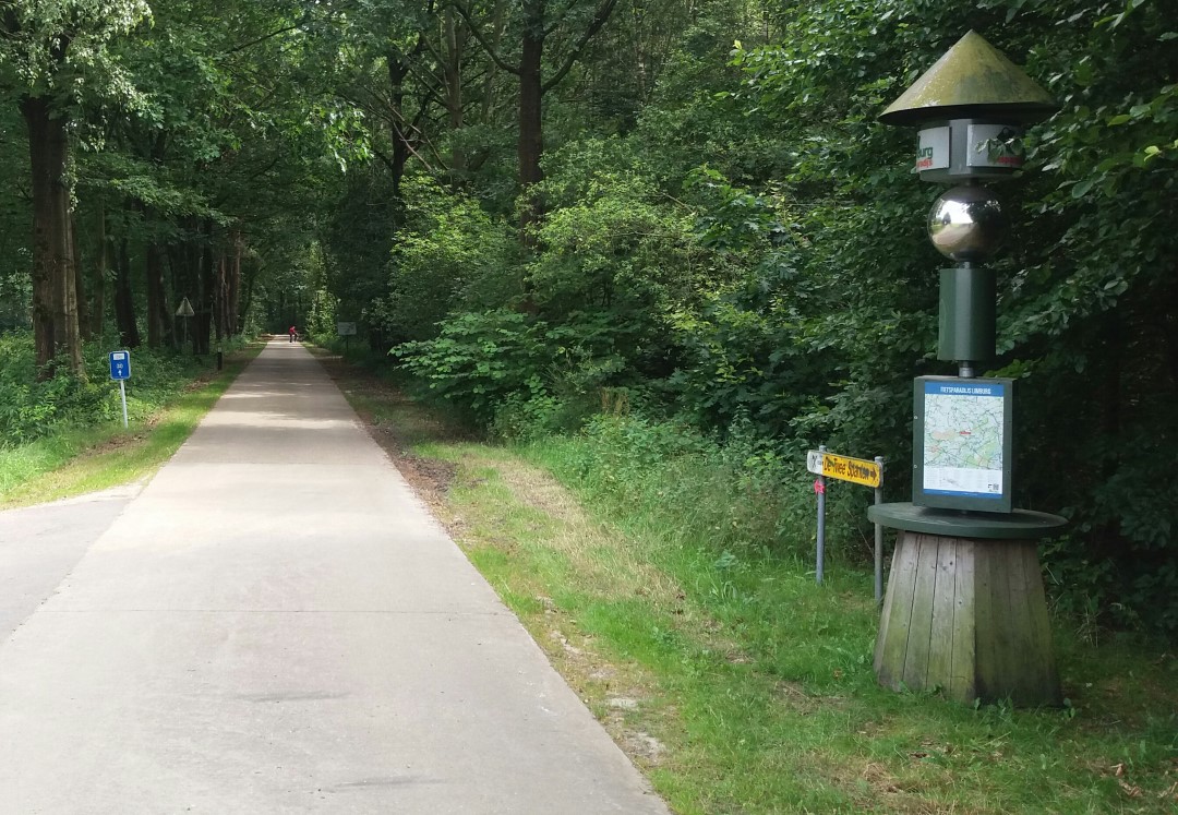
The route is fully signposted with nodes.
 Description
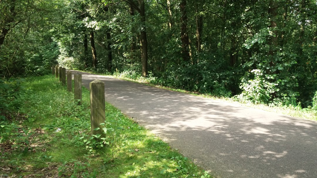
Beautiful cycling route with a few climbs through a closed forest landscape and along the highest land dune in Flanders. Along the way you get a taste of the rural wealth of Peer and Meeuwen-Gruitrode. You pass church villages, water mills, an imposing commandery and a castle farm.
Courtesy of Tourism Limburg.
automatic translation
 nodes to follow
0 km
4.2 km
8.6 km
12.3 km
12.5 km
17.5 km
22 km
25.2 km
26.2 km
35.6 km
40.1 km
43 km
47.1 km
48.6 km
Monday, March 24, 2025 by T.G.Left at point 34. Met a fawn after a few kilometers. By noon after point 23 made a detour along the N730 to De Geus for lunch. Then continued on to finish at point 34. We stayed with the camper on the grounds of the Blueberry Joiner in Gruitrode. Nice varied tour.
automatic translation
Wednesday, May 17, 2017 by G.B.Rode back to the start after 10 km, was very boring and monotonous from one neighborhood to another.
Not recommended
automatic translation
Saturday, July 16, 2016 by G.H.Pleasant, varied wooded route, few cafes, but lots of rest stops.
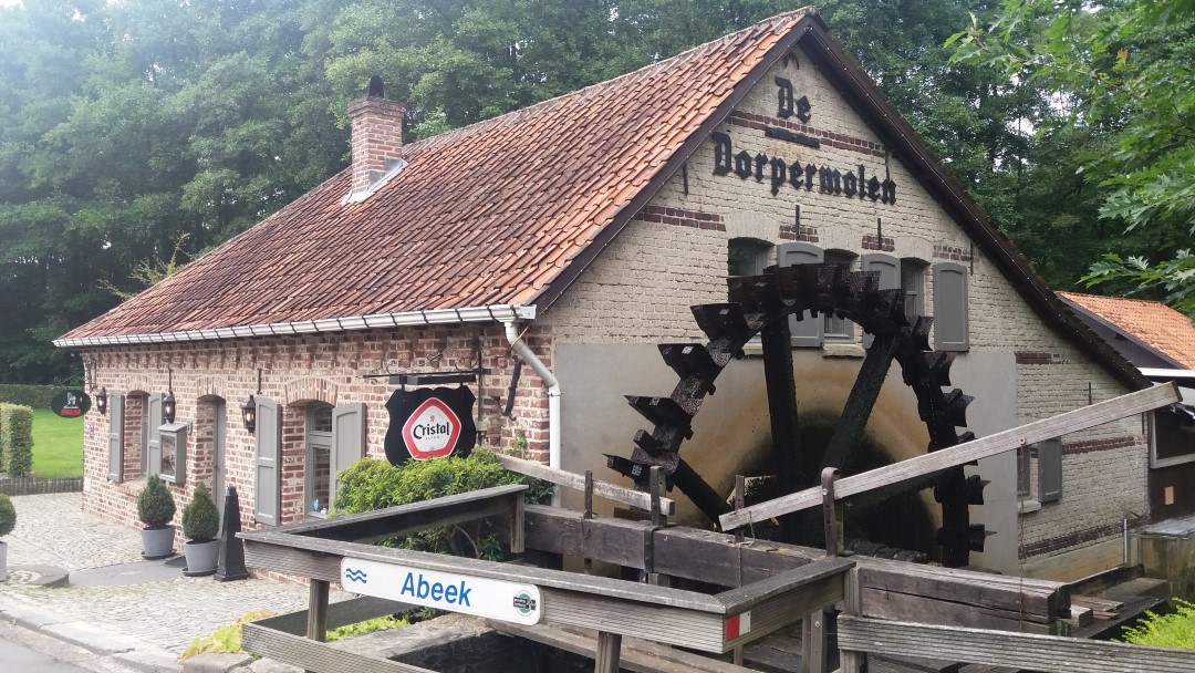
The cafe you encounter after 30 kilometers or so (The Village Mill) not only has extremely friendly staff, but also the best chicken meal soup I've ever eaten! Also, go check out the working water mill inside. Very beautiful!
automatic translation
Saturday, July 9, 2016 by T.P.1 note between node 32 and 524 is about 1.5 km of paved gravel and not recommended for road bikes . ( pebbles )
automatic translation


 Upgrade to Premium Plus
