 Biking
 Login
Login
 More
More
 EN
EN
 Premium
Hagelandse heuvelsroute
35.3 km • Lubbeek
 official route
3.63310 4 3.9/5
route offered by
 Addresse starting point (approximate)
Sint-Martinuskerk, Dorpstraat, 3210 Lubbeek
 signage
The route is fully signposted with nodes.
 Description
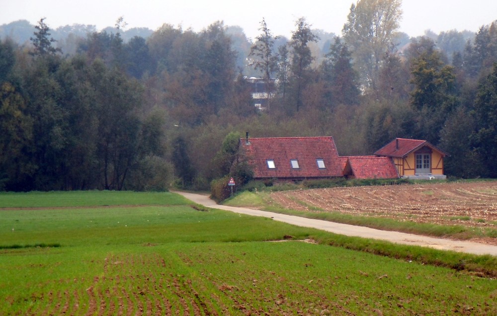
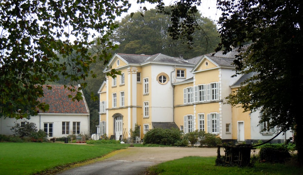
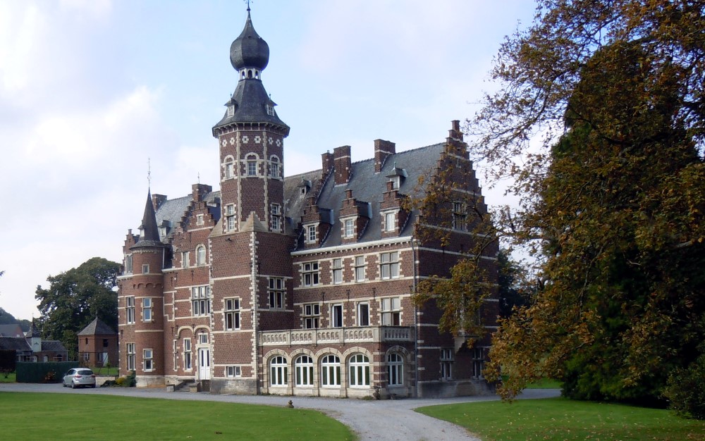
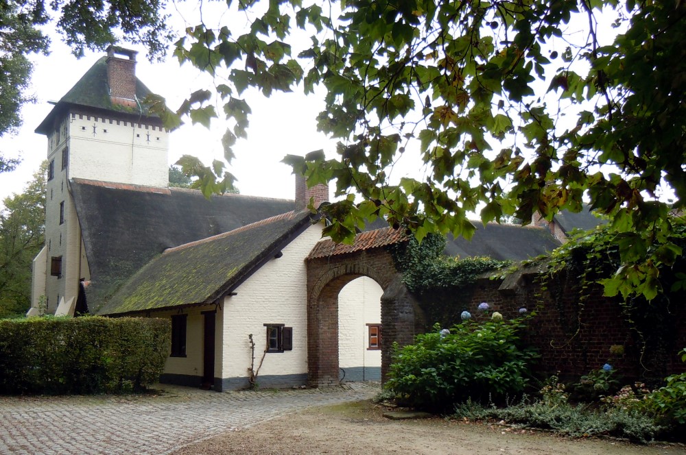
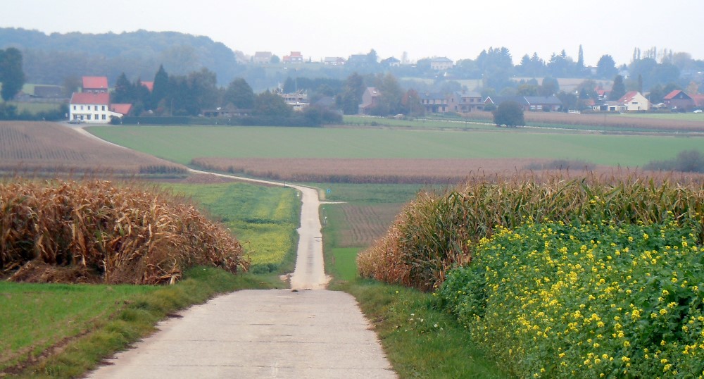
Conquer the hills in the heart of the Hageland. A new panoramic view awaits you after every climb. You’ll cycle past groves and fruit trees, through villages and lush valleys. Hof ter Meeren, the Bremberghoeve, Kwadepoort Farm, and Attenrode Castle are landmarks in the landscape. Sven Nys cheers on his son Thibau here during his training rides—you might even see him flash by.
Before you set out: The route includes a few unpaved sections.
automatic translation
 nodes to follow
0 km
1 km
2.6 km
3.3 km
5.1 km
7.1 km
10.8 km
11.2 km
15.4 km
17.7 km
22.8 km
28.1 km
29.6 km
30.5 km
32 km
34.2 km
35.2 km
Sunday, May 30, 2021 by Chris CuypersVery beautiful and quiet route with many hills and sometimes unpaved roads, but no problem with the electric bike. You pass the nice café where Eddy Merckx's grandparents lived. Highly recommended.
automatic translation
Tuesday, March 30, 2021 by Guido LoriesHello, The beginning,we parked in the village of Lubbeek,there is a nice free parking.And from there started number 21.It is a hilly route,with lots of fruit trees. Ideal to make it a blossom route.Beware,there are field roads,and they are not so good. See you soon.
automatic translation
Saturday, April 25, 2020 by A.V.Very nice route, but one with tough climbs.
automatic translation
Saturday, August 6, 2016 by J.V.A route that at many times coincides with the Eddy Merckx route. Yet they are not comparable. The markings are not in good shape and 3 times I was glad I had a track on the GPS. Track is also not the same as the markings.
Definitely avoidable with a road bike due to the unpaved sections with large pits, sludge and large chunks of rock debris. This rock debris gave me a flat tire.
automatic translation


 Upgrade to Premium Plus
