 Biking
 Login
Login
 More
More
 EN
EN
 Premium
Twee Getenroute
44.4 km • Zoutleeuw
 official route
4.0935 3 3.5/5
route offered by
 Addresse starting point (approximate)
Het Vinne, Ossenwegstraat 70, 3440 Zoutleeuw
 signage
The route is fully signposted with nodes.
 Description
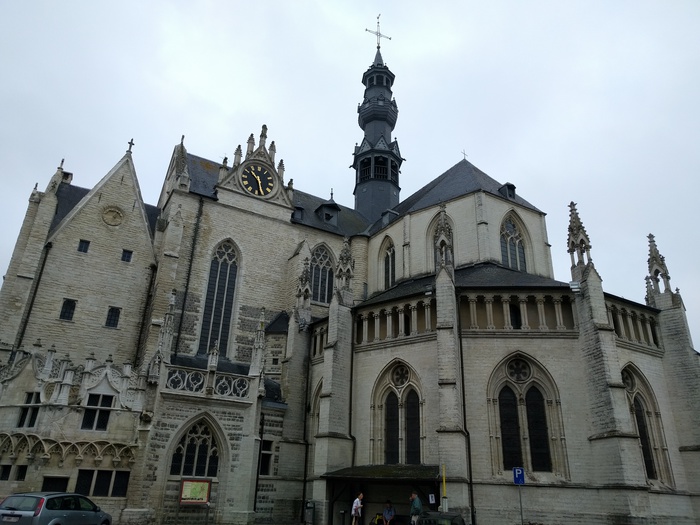
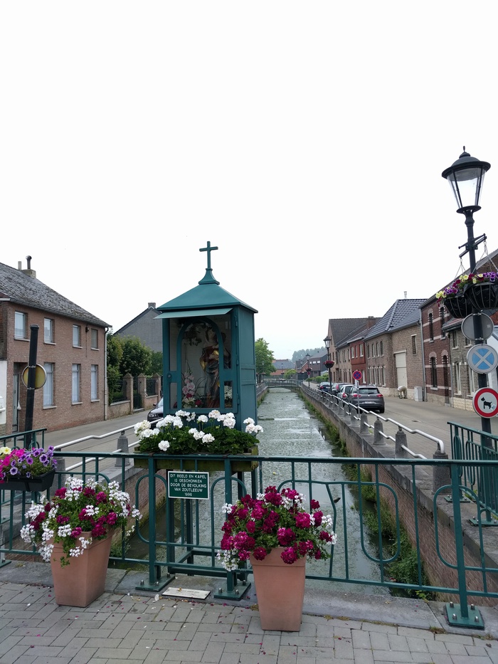
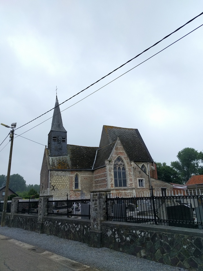
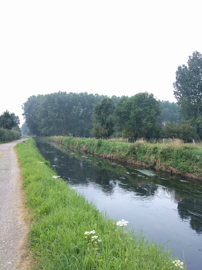
Cycle through the wide valley where the Grote Gete and Kleine Gete rivers converge, through a rural landscape dotted with surprising stops. Climb the observation tower and take in the chirping birds on Lake Vinnemeer, stop for a moment at the beautiful chapel on Ossenweg, search for the four fruit-themed sculptures among the fruit orchards, and make some time to let the kids run around along the Adventure Trail. And are you ready for the more challenging climb to Ransberg? The view from there is fantastic.
Before you set out: This route also passes through the municipalities of Zoutleeuw, Landen, Linter, Kortenaken, and Geetbets.
automatic translation
 nodes to follow
0 km
0.9 km
1.6 km
2 km
2.9 km
6.1 km
7.7 km
7.8 km
12.1 km
15.1 km
16.7 km
21.2 km
23.9 km
24.3 km
29.6 km
30.7 km
33.9 km
35.6 km
38.6 km
40.3 km
40.3 km
41.1 km
43.2 km
43.2 km
44.2 km
44.3 km
Alternative versions
Saturday, July 14, 2018 by Vlaanderen FietslandThis route was grafted onto the Hageland's updated bicycle network in the spring of 2018. The signage is back 100% in order.
automatic translation
Thursday, June 28, 2018 by D.A.on 27-06-2018 want to do this route no starting point found info we could not ask was closed then but on own initiative a route mapped out on the way even cyclists talked who also had no departure found at the domain, pulls on nothing sorry here I can only give 0 stars .
automatic translation
Wednesday, April 12, 2017 by L.P.Me and my wife did this bike route. It is a beautiful bike route but in three places it is not doable to ride with bike and this to the two get are very deep holes in the dirt road, then in ransberg forest the same problem and then another small piece in ransberg the same problem. Good thing it didn't rain then it was a disaster ? !
automatic translation


 Upgrade to Premium Plus
