Biking
 Login
Login
 More
More
 EN
EN
 Premium
Following Saint Godelieve... sea and polder
automatic translation
81.6 km • Ichtegem
23.64430 0 0/5

 Addresse starting point (approximate)
Stationsstraat 153;155, 8480 Eernegem, BE
 signage
The route is fully signposted with nodes.
 Description
We depart from Eernegem and follow the car-free Groene 62, a former railway embankment running from Torhout to Ostend.
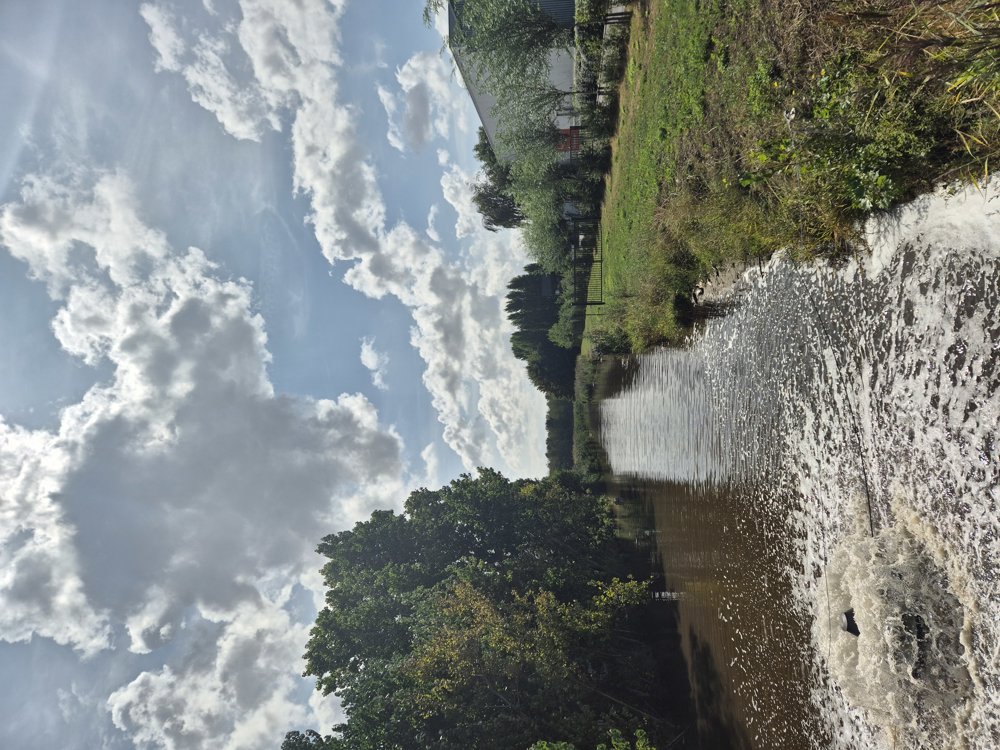
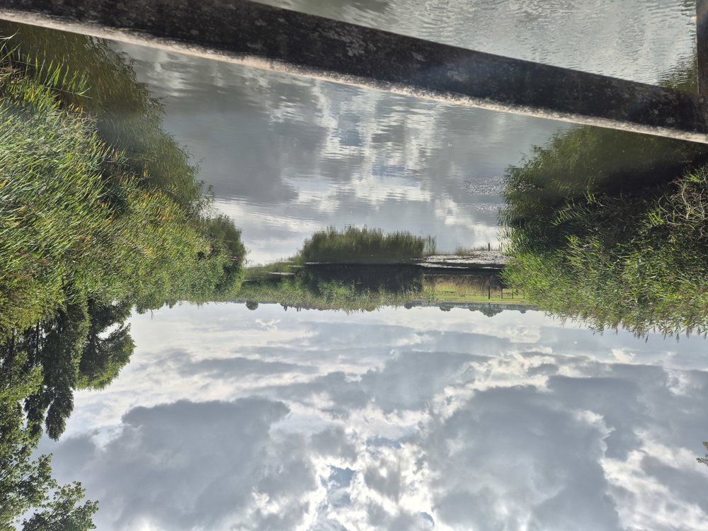
We leave this route for the first time towards Westkerke. Near Roksem, we pass the nature reserve De Hoge Dijken, created during the construction of the E40. After a ride through the polders and along the Plassendale-Nieuwpoort Canal, we arrive in Gistel with its Abbey Ten Putte, worth a visit in my opinion.
Via the Groene 62, we continue our journey towards Zandvoorde and the cozy village of Stene with its beautiful allotment gardens. We also encounter various dining establishments.
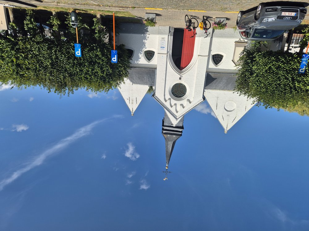
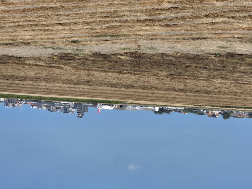
The route then takes us through the peaceful Mariakerke, with its lovely little church, and along the dunes to Raversijde, with its Atlantikwall museum. Through the polders, Leffinge, and Slijpe, we ride back to our starting point. A beautiful, varied route through the polder landscape.
automatic translation
 nodes to follow
0 km
2.1 km
3.5 km
4 km
5.6 km
5.8 km
8.5 km
9.5 km
12.7 km
12.9 km
16.2 km
16.8 km
18.7 km
19.1 km
20.2 km
20.2 km
22.7 km
25 km
26.2 km
30.2 km
30.3 km
30.9 km
31.2 km
33.3 km
34.3 km
34.5 km
37.6 km
37.7 km
42.8 km
42.9 km
43.1 km
43.4 km
47.4 km
48.4 km
49.6 km
52.2 km
54.9 km
56.4 km
57.1 km
57.1 km
59.9 km
63.2 km
65.3 km
67.1 km
71.2 km
72.6 km
76.5 km
78.3 km
79.5 km
81.6 km



 Upgrade to Premium Plus