Biking
 Login
Login
 More
More
 EN
EN
 Premium
Exciting tour around Ypres
automatic translation
59.4 km • Zonnebeke
30.62313 0 0/5

 Addresse starting point (approximate)
Dadizelestraat 46, 8980 Beselare, BE
 signage
The route is fully signposted with nodes.
 Description
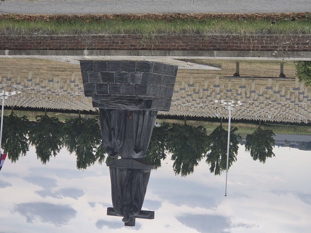
We departed from Beselare, known for its witch parade, through a gently rolling landscape to Zonnebeke, the walking community of 2026, and drove through the beautiful castle park. There you find the Passchendaele Museum and the Passchendaele Memorial Gardens, reminders of WWI.
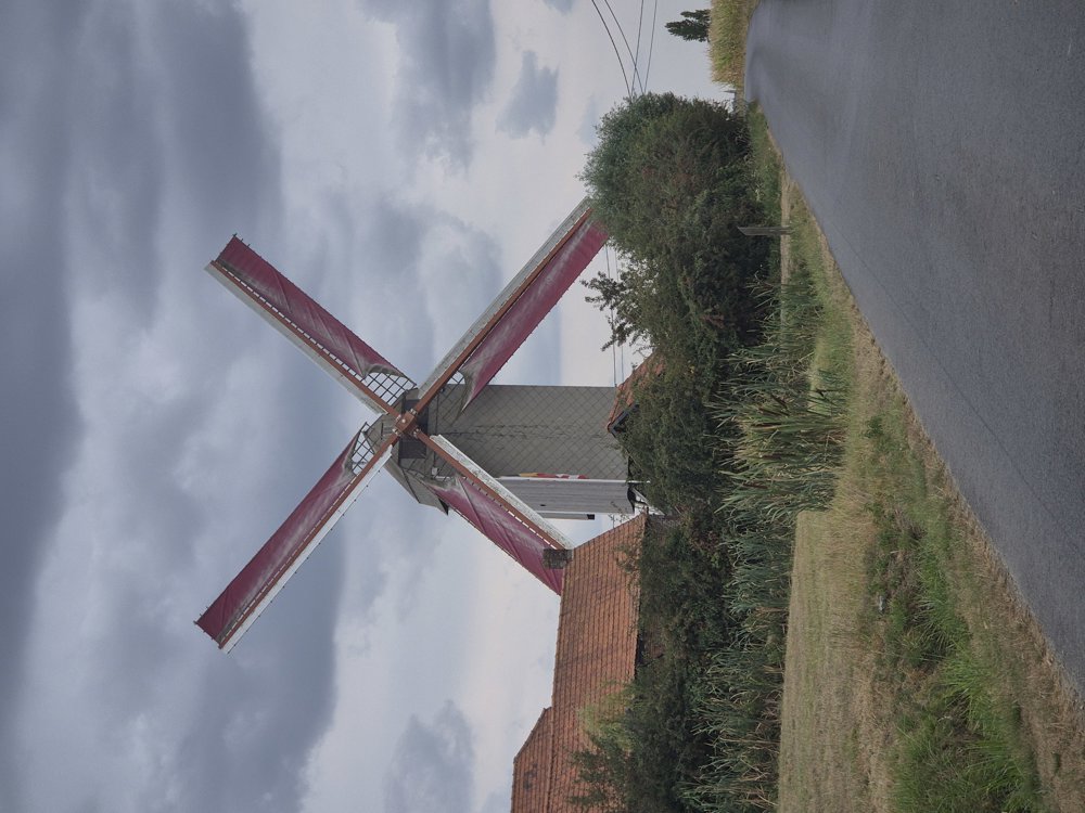
Along the route, we saw many information boards about the region and its past. In Passendale, we passed the old cheese factory. We also passed by the Steenakkermolen in Langemark, which you can visit every third Sunday of the month.
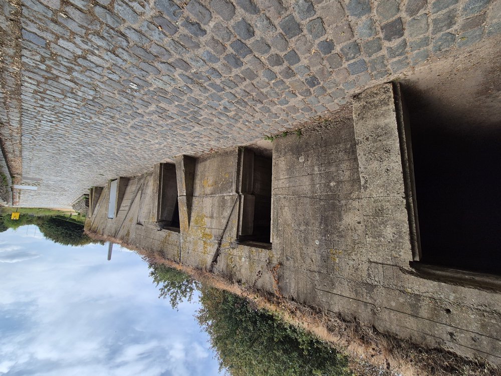
The route continued a bit along the Vrijbosroute (Kortemark-Boezinge) to ultimately guide us along the canal into Ypres. By the canal, we saw several bunkers, which turned out to be the medical aid post of John McCrae from WWI.
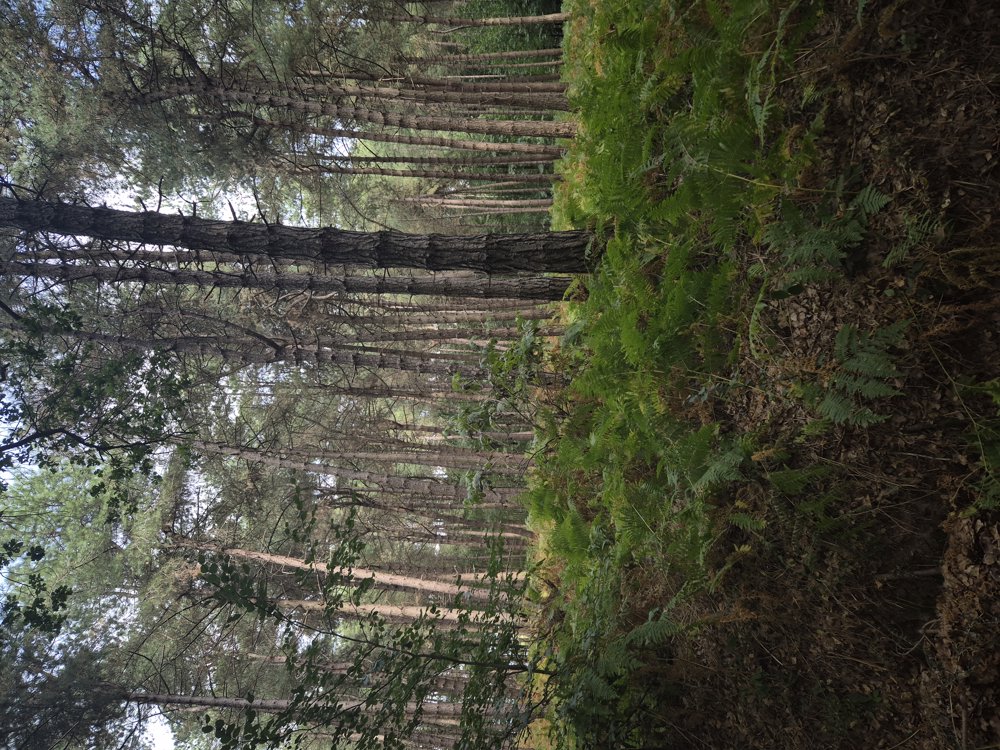
In Ypres, we also saw the ramparts and an alternative view of the Menin Gate. We returned by the Zillebeke pond and through the woods of Zandvoorde. It was a diverse memory trip of WWI, with many war graves and monuments.
automatic translation
 nodes to follow
0 km
1.1 km
1.6 km
3.5 km
5.1 km
5.1 km
7 km
10 km
11.3 km
12.2 km
14.6 km
17 km
19.7 km
20 km
21.6 km
23.5 km
26.7 km
27.7 km
29.5 km
29.8 km
32.3 km
32.7 km
34.4 km
35.5 km
37.6 km
39.6 km
41.5 km
41.8 km
44.5 km
45.9 km
46.6 km
46.6 km
46.9 km
47.3 km
47.6 km
48.3 km
49 km
49.1 km
50 km
50.1 km
50.6 km
51.8 km
54.6 km
55.5 km
56.2 km
57.9 km
59.4 km



 Upgrade to Premium Plus