Loading...

The nature-rich and bicycle-friendly Limburg

automatic translation

82.2 km • Zutendaal

3.5883 0 0/5

82.2 km 0.0 km 0.0 km

route offered by

Sylvie Vandezande

Icon starting point Addresse starting point (approximate)

Sprinkelestraat 32, 3690 Zutendaal, BE

Icon type signage of route signage

The route is fully signposted with nodes.
5m 5m 5m 5m
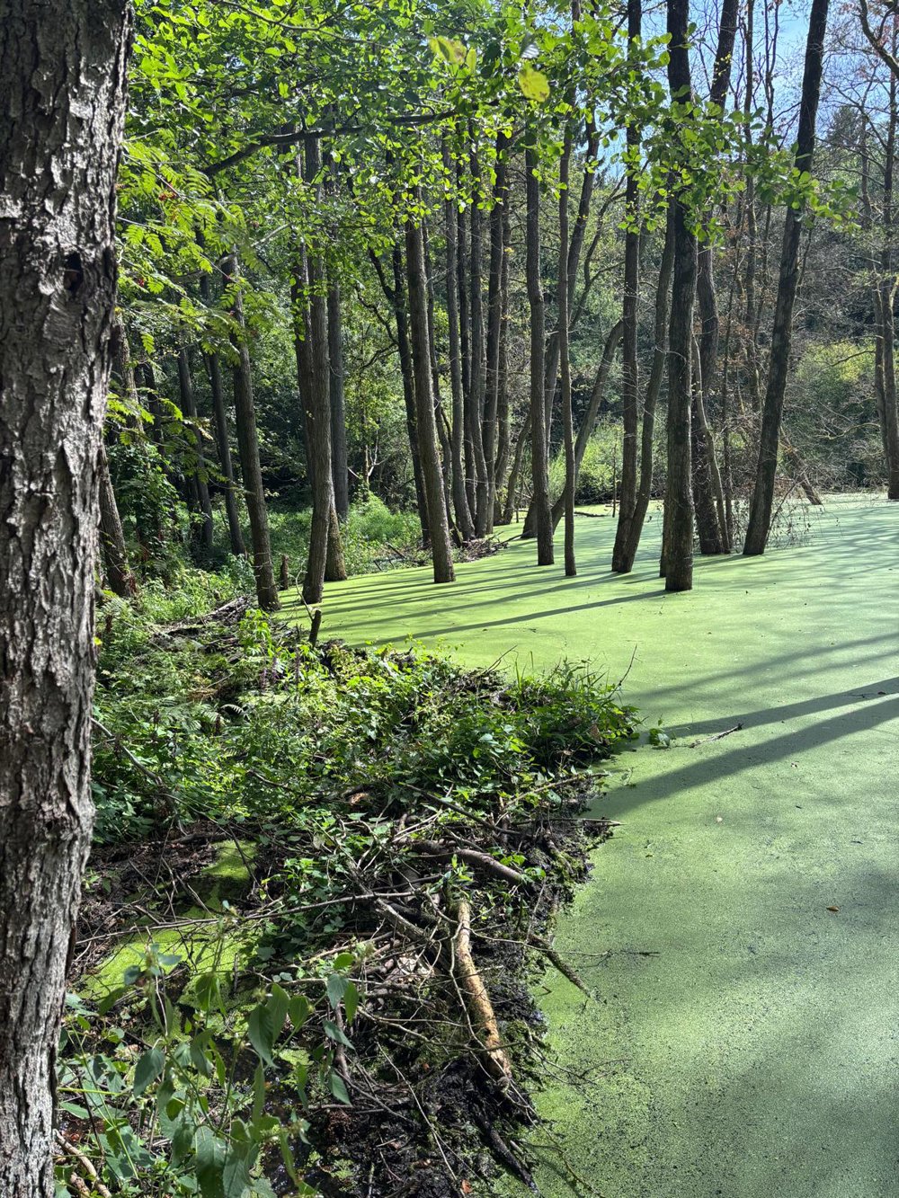
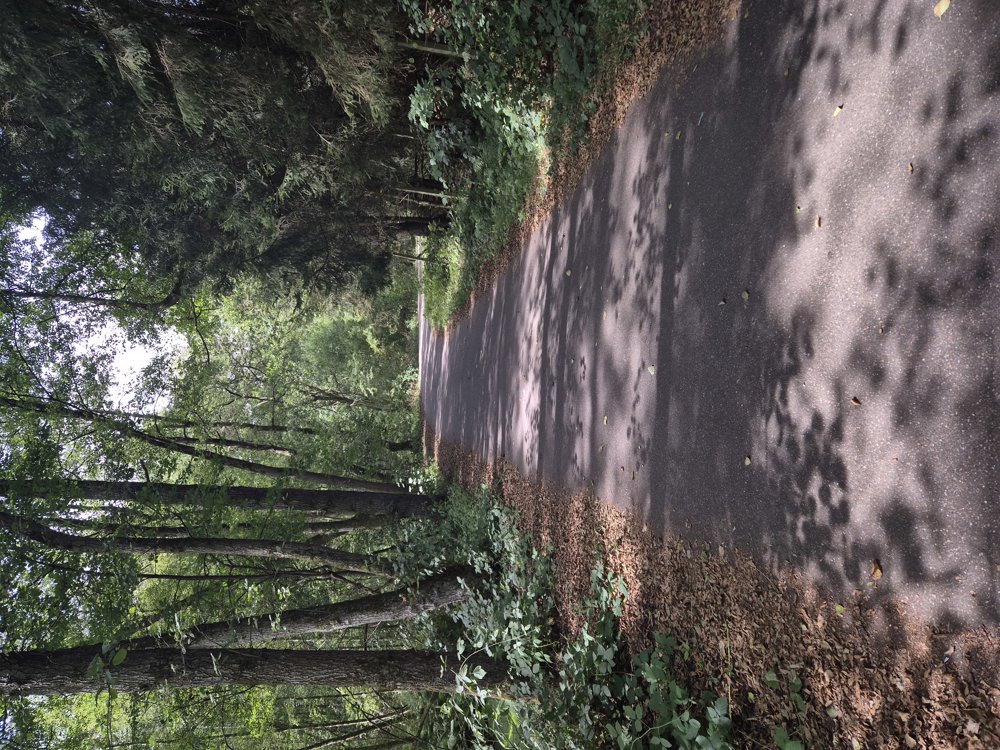
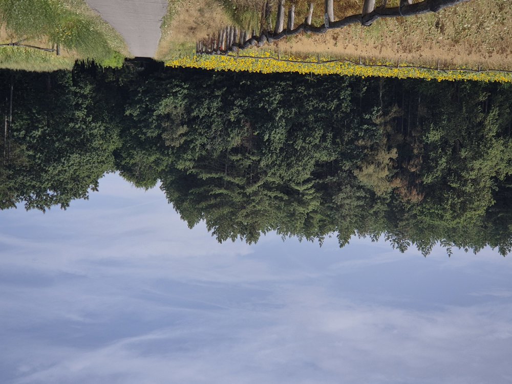
Atmosphere image 1 of route The nature-rich and bicycle-friendly Limburg Atmosphere image 2 of route The nature-rich and bicycle-friendly Limburg Atmosphere image 3 of route The nature-rich and bicycle-friendly Limburg
© Sylvie Vandezande

Icon description route Description

From Zutendaal, we drive through the Mechelse Heide, along the Lanklaarderbos, and look over the heath from above.

A little further on, we reach the Zuid-Willemsvaart, which we follow for 11 km before turning off in Opitter. In the Oudsberg nature reserve, we encounter many mystical ponds with trees in them.

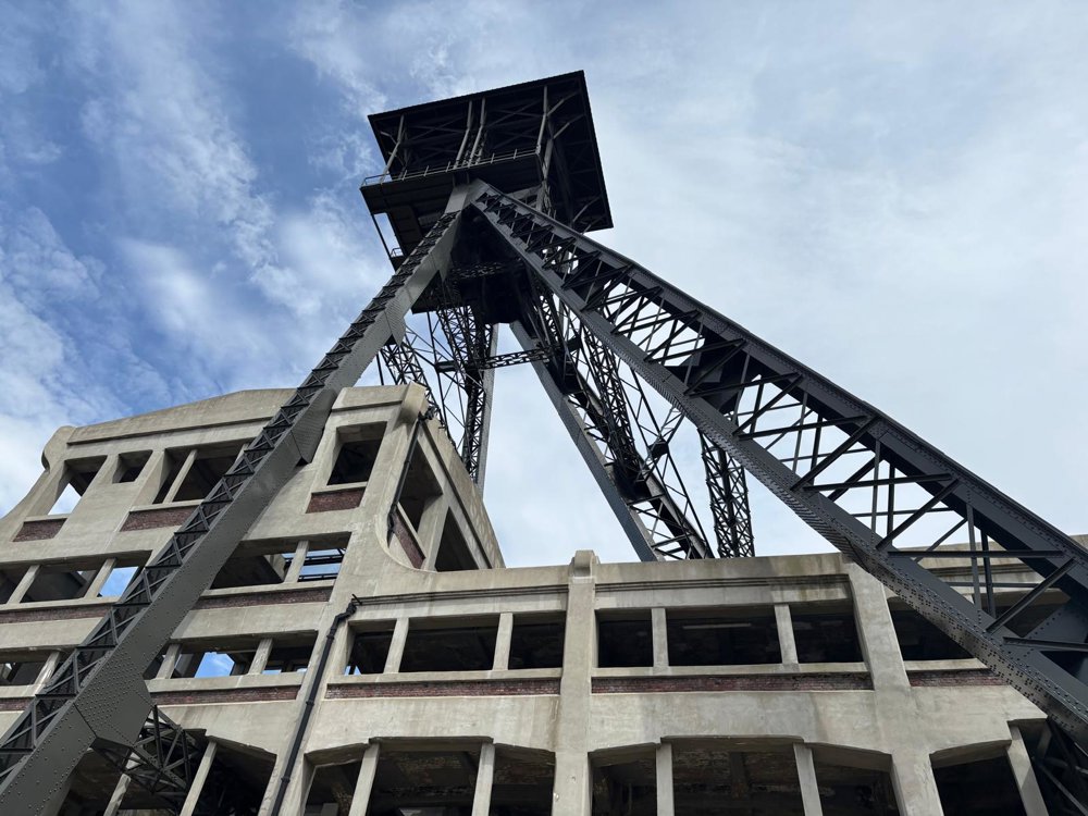
We continue along the Coal Route towards Genk and see many traces of the mining past as well. Once again, a bike ride with lots of nature areas and few cars! Between junction 249 and 250, we then detour to the Genk station.

automatic translation

Icon nodes to follow nodes to follow

Image node 251
0 km
Image node 534
1.2 km
Image node 535
4.5 km
Image node 565
11.5 km
Image node 565
11.6 km
Image node 565
11.8 km
Image node 566
17.1 km
Image node 552
22.9 km
Image node 552
23.3 km
Image node 552
23.4 km
Image node 48
24.3 km
Image node 44
25 km
Image node 47
28.2 km
Image node 13
32.9 km
Image node 12
34.3 km
Image node 11
34.8 km
Image node 36
35.8 km
Image node 31
38.5 km
Image node 571
40 km
Image node 570
41.4 km
Image node 35
41.9 km
Image node 262
42.3 km
Image node 526
44.8 km
Image node 527
48 km
Image node 70
48.4 km
Image node 529
50.5 km
Image node 528
54.5 km
Image node 500
55.3 km
Image node 59
56.1 km
Image node 38
57.2 km
Image node 42
61.1 km
Image node 501
64.4 km
Image node 41
66.7 km
Image node 41
66.8 km
Image node 508
72.2 km
Image node 509
77.7 km
Image node 73
78.6 km
Image node 73
78.6 km
Image node 73
78.7 km
Image node 73
78.7 km
Image node 73
78.7 km
Image node 249
79 km
Image node 250
82.2 km
This route does not have any reviews yet. Be the first!
Rate route!

Which POI do you want to show on the map?

Experimental cycling network
Unsigned icon

The route you have chosen runs (partly) along an experimental virtual cycling node network (the blue-coloured nodes and sections on the map).

You must be logged in to plan routes here.

Experimental cycling network
Unsigned icon

The route you have chosen runs (partly) along an experimental virtual cycling node network (the blue-coloured nodes and sections on the map).

These routes are not controlled in the field. Before you start cycling here, take a minute to read what an experimental cycling node network is and what rules you should follow when cycling here.