Biking
 Login
Login
 More
More
 EN
EN
 Premium
Back to my childhood
automatic translation
78.5 km • Hasselt
19.1394 0 0/5

 Addresse starting point (approximate)
Boomkensstraat 2, 3500 Hasselt, BE
 signage
The route is fully signposted with nodes.
 Description
My enthusiasm for cycling started in Limburg, full of forests, heathland, and cycle paths.
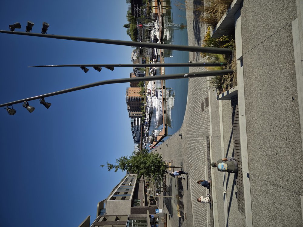
We set off from the station to the right towards our first junction, which allows us to cross through the charming city of Hasselt.
The next attraction is the nature reserve De Wijers, with the ride through the water, next to Bokrijk, also worth a visit.
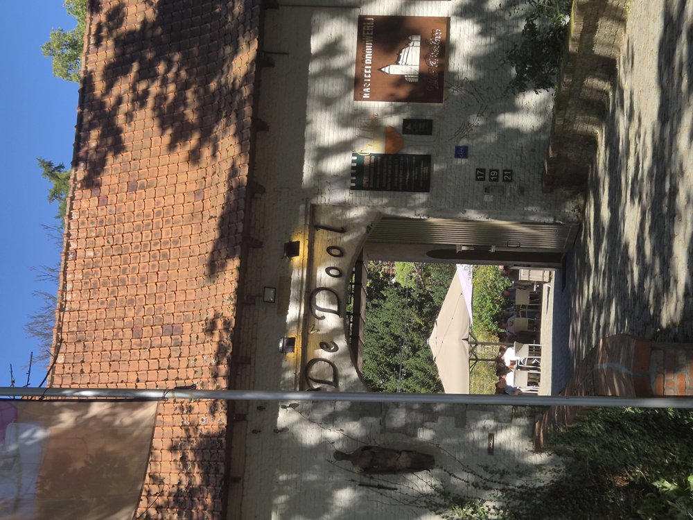
We continue cycling through lots of greenery, along roads with little car traffic to Zonhoven, Zolder, and Helchteren. In Helchteren, we have a drink on the cozy terrace of the castle brewery Ter Dolen and I reminisce about my pleasant holiday times during my childhood with my aunt in Helchteren.
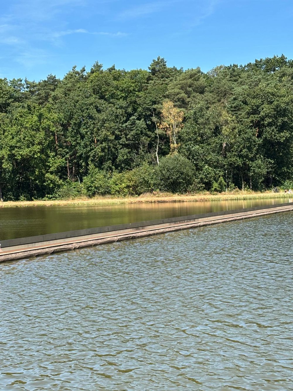
We continue along Molenheide, to the lake in Kelchterhoef, where you could still take a refreshing dip. On the way to our accommodation in Zutendaal, we also pass by C-Mine and Genk, before continuing through the woods. Very beautiful, a green bike ride along many car-free roads.
automatic translation
 nodes to follow
0 km
2.3 km
4.6 km
8.4 km
8.6 km
10.9 km
12.7 km
18.9 km
26 km
27.3 km
28.4 km
31.5 km
34.2 km
34.2 km
34.2 km
34.3 km
34.3 km
34.3 km
34.3 km
34.4 km
35.3 km
39.5 km
40 km
41.4 km
43.9 km
47.7 km
52.6 km
53.1 km
57.6 km
64 km
65 km
67.5 km
67.5 km
67.5 km
67.8 km
71 km
73.6 km
75.4 km
77.3 km
78.5 km



 Upgrade to Premium Plus