Biking
 Login
Login
 More
More
 EN
EN
 Premium
Omloop Oosterweel
automatic translation
16.7 km • Antwerpen
 official route
21.00431 11 3.2/5

 Addresse starting point (approximate)
Visitor Center van Visit Antwerpen | Het Steen
 signage
The route is partially signposted with nodes, partially with thematic signs.
 Description
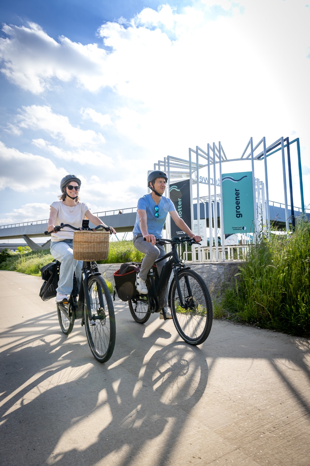
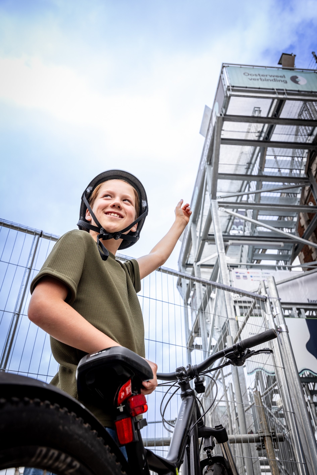
Hop on your bike and discover how Antwerp is changing at 7 vantage points. Experience the construction site up close like never before: with a unique view of the Oosterweel Link construction, audio stories from the site, and 360° visions of the future. Follow the route through the junctions and discover the construction site of the century from the front row!
Want more info about this bike route? Check it out at https://www.oosterweelverbinding.be/je-omloop-oosterweel-start-hier.
automatic translation
 nodes to follow
0 km
1.2 km

2.8 km
3.5 km
3.7 km
3.9 km
3.9 km
4.1 km
4.2 km
4.2 km
4.2 km
4.2 km
4.2 km
4.3 km
4.6 km
4.9 km
5 km
5 km
5 km
5 km
5.1 km
5.2 km
5.3 km
5.3 km
5.3 km
5.3 km
5.6 km
7.4 km
9.2 km
9.3 km
9.9 km
10.5 km
10.9 km
11 km
11 km
11.1 km
12.2 km
13.8 km
15.3 km
15.5 km
16.7 km
Friday, July 31, 2026 by P.M.TERRIBLE!!! The signage is completely inadequate!!! There’s a direction marked on the ground on the bike path; if you follow it, you’ll end up at a fork in the road. On the left is a large traffic sign: “No Bicycles”! On the right… a large traffic sign… “No Bicycles”! Figure it out for yourself! Only one lookout point was accessible!
automatic translation
Tuesday, July 28, 2026 by M.R.Very good, but needs some changes. To really appreciate the higher-level works, you have to have seen the towers.
automatic translation
Monday, July 20, 2026 by H.L.If you don't know your way around the harbor and the surrounding area... you’ll end up going nowhere and won’t have seen a thing! My tip is: first check out the videos and maps on the Oosterweel Works website, and then you’ll have a pretty good idea of what’s coming up, where you are, and can follow the necessary explanations!!
automatic translation
Thursday, July 9, 2026 by K.R.It's really nice to see the works from a different perspective! Highly recommended.
automatic translation
Friday, July 3, 2026 by Leo DeleuAn interesting route with great views of the ongoing construction work. The towers are perfect. From the bridges, you have to be careful to let regular cyclists pass on the narrow bike path. BUT. The GPX doesn’t show exactly how to ride to point B. Neither does the map. The arrows aren’t where they’re needed. Sometimes you have to search for a long time.
automatic translation
Monday, July 6, 2026 by Communicatie LantisThanks for your feedback, Leo. Feel free to let us know by email ([email protected]) where you'd like to see some additional arrows. We'll get to work on it.
automatic translation
Thursday, July 2, 2026 by Cyriel GulickxA beautiful route to take, allowing you to view the major construction projects at this massive site from various vantage points. Definitely worth a visit!
automatic translation
Thursday, July 2, 2026 by W.V.An interesting route with beautiful viewpoints. You get a completely different perspective of the Oosterweel construction sites than you do from the road. Definitely worth a visit!
automatic translation
Wednesday, July 1, 2026 by M.G.Really fun and interesting! It's great to be able to see the shipyard up close from the towers.
automatic translation
Sunday, June 28, 2026 by R.B.Very poorly signposted; impossible to navigate without a GPS with the route preloaded. For a city like Antwerp, this is completely unacceptable—I know the area and still had to search around a lot. I wonder how tourists are supposed to manage.
automatic translation
Tuesday, June 30, 2026 by Communicatie LantisThank you for bringing this to our attention. In the meantime, additional bike junction signs have been installed to make it easier to follow the route, even without GPS. In addition, more signage will be added to the streets in the coming days to make the route even more recognizable. Tip: Be sure to pick up a cycling map at Visit Antwerp in Het Steen for extra visual guidance.
automatic translation
Saturday, June 20, 2026 by G.P.I gave up after watchtower 1. Very poorly marked. To reach the tower, you have to ride through concrete blocks. Seriously? Ever heard of cargo bikes or longtails? They’re not even allowed to participate here. And where’s the QR code for the audio guide? It seemed like a great initiative to me, but it was one big disappointment.
automatic translation
Tuesday, June 23, 2026 by Communicatie LantisThank you for your candid feedback. We understand that this was a frustrating experience.
May I ask which tower you encountered those concrete blocks at exactly? On the official route, you’re not supposed to have to ride your bike between concrete blocks anywhere. We’d be happy to look into this. The QR codes with audio explanations are always posted at the top of each tower or lookout point.
automatic translation
Monday, July 20, 2026 by H.L.Between the dog park and the Droogdokkenpark near Noordkasteel, you have to ride between concrete blocks—I got my panniers stuck between them... so a bike trailer, etc... nope! QR codes??? Signs??? Saw and talked to lots of people who were trying to find their way! Cycling with the junction app doesn’t work! Too bad, really too bad!!
automatic translation
Tuesday, June 16, 2026 by Pat DuymA bit of a letdown—poor signage in unnecessary places, with signs several meters high, but unclear where it really matters. Luckily, I was familiar with the area. The viewpoints are also poorly marked; the first two are okay, but after that, it’s more of a scavenger hunt than a guided tour... Kudos to Kiel Station—the viewpoint is very well hidden… nice
automatic translation
Tuesday, June 23, 2026 by Communicatie LantisThank you for your feedback. We’re definitely working on improving the signage, although that’s not always easy in an urban setting. The lookout point at Luchtbal Station is temporary. After the summer, a lookout tower will be built here that will be much easier to find.
automatic translation



 Upgrade to Premium Plus