 Biking
 Login
Login
 More
More
 EN
EN
 Premium
Hensies & Quiévrain: in wetlands
automatic translation
26 km • 7350 Hensies
 official route
10.2211 0 0/5
route offered by
 Addresse starting point (approximate)
Croisement de l’Avenue de l’Europe et de la Rue Haute 7350 Hensies
 signage
The route is fully signposted with nodes.
 Description
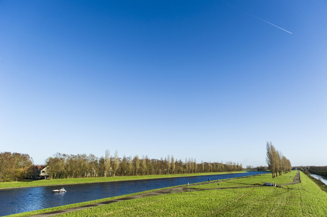
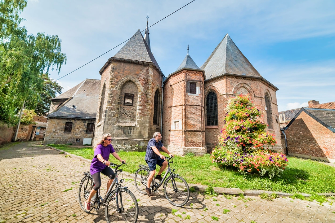
This walk takes you through the countryside of Hensies and Quiévrain, characterized by marshes and wet meadows.
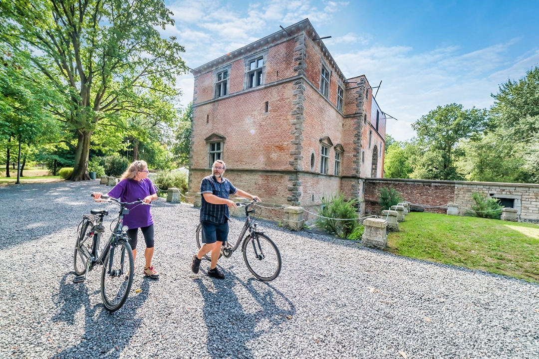
Hensies is bathed in the softness of spring. The first few kilometers on the light-flooded road are an opportunity to stretch your legs, as the route is not very difficult. On the Quiévrain plain, paths and small roads wind their way between wetlands. On the map, the small roads here weave an immense spider's web: land consolidation has facilitated access to the fields and created these asphalted roads, ideal for touring bikes! The marshes near Harchies have left many wetlands in the landscape. The road is rural, pleasant and free of traffic as we approach the urbanized area of Boussu. Splendor and influence characterize its castle, built in the time of Charles V. From the town center, the RAVeL passes through the past with the old Dour collieries and into the future, skirting a wind farm. In less than a century, fossil fuels will have been supplanted by wind power...
automatic translation
 nodes to follow
0 km
1.4 km
2.1 km
3.6 km
3.6 km
3.7 km
4.6 km
9.9 km
10.6 km
12.1 km
14 km
15.9 km
16.5 km
17.5 km
20.8 km
23.5 km
26 km


 Upgrade to Premium Plus
