Biking
 Login
Login
 More
More
 EN
EN
 Premium
Exploring in the Wijers
automatic translation
54.6 km • 3500 Hasselt (Kiewit)
 official route
5.91218 1 5/5

 Addresse starting point (approximate)
Putvennestraat 108 - Domein Kiewit
 signage
The route is fully signposted with nodes.
 Description
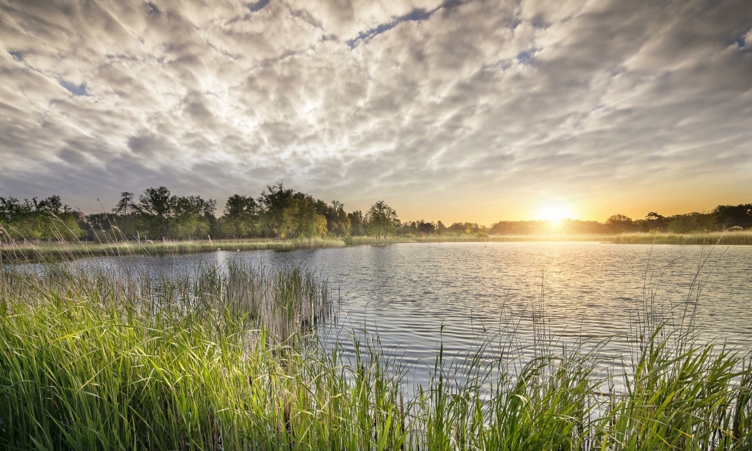
From Domain Kiewit, you cycle straight into the tranquility of De Wijers, a vast patchwork of ponds, forest and heathland. Between the glistening ponds you will discover a landscape that was shaped centuries ago by monks and fish farmers. The viewpoints let you dream away above bird-rich ponds where silence reigns supreme. At Herkenrode Abbey you can feel the rich history that colored this watery area. With C-mine and the Winterslag garden suburb you take a trip to Limburg's mining past, but at De Maten you are once again completely immersed in the Wijers. We'll keep the highlight for last! At Bokrijk you get "Cycling through Water" shoved under your wheels, a magical experience where you literally ride through ponds. This route immerses you in a unique nature reserve where water, nature, culture and tranquility balance each other.
automatic translation
 nodes to follow
0 km
3.5 km
6.3 km
10.1 km
10.9 km
16.9 km
16.9 km
18.7 km
19.8 km
26.1 km
27.6 km
28.6 km
31.1 km
31.1 km
31.1 km
31.4 km
32 km
32.1 km
32.1 km
34.8 km
42.2 km
44.2 km
46.5 km
48.4 km
54.6 km



 Upgrade to Premium Plus